Municipal Light Water Power
1 Reply


[Sen. Alex Padilla has proposed up to a million acres in California will receive federal protection. Hurrah! He is to be congratulated for moving much faster than I can — for a whole month, I’ve been working against time and Google tech troubles to get a comprehensive SFVNatGeoMon website up, making the case for preserving the Sylmar-Pacoima-Tujunga hills.
These lands are mostly already public, but currently they are orphaned, with little upkeep and almost no public services (even trail markers). Thus, it is treated as a dumping ground, a wasteland. The side canyons of Lopez are still being leased off and paved over, level by level, as parking lots for cheap parking and storage of big-rig trucks and industrial junk. Of course this completely destroys the habitats, and scares off the animals. The SFV Canyons are on a slippery slope, which are the LA watershed, seem at terminal risk of being taken over by homeless jungles, dirt bikes and off-roaders, and remaining a dangerous junkyard, forever. The City is broke, the State is broke, and may be for a while, because of Covid-19…Federal support is the only thing that will cut across multiple agencies like the City, the DWP, the Forest Service, and the MCRC. And the geological theme would both unify the disparate canyons in the public mind, giving them a positive identity, and also help encourage local use, appreciation and respect for this integral part of Los Angeles. The investment would be small, for the benefits gained.
More details will appear in coming blogs, and eventually, on the website when it emerges.
Since February of 2019, I’ve taken many Views of Sugarloaf in Lopez Canyon. A headless sphinx; a kaleidoscope of sedimentary rock; crown jewel of the Land of Contrasts. A riddle, wrapped in an enigma, wrapped in buckwheat. Now, I see it as an old volcano.

There are no volcanoes in Los Angeles, is the consensus of the Internet; but that’s misleading, a partial truth. True in that there is, or has never been discovered, a volcano with a textbook, one-vertical-pipe, ash-spewing Mt. Vesuvius model. Clearly Sugarloaf is not that. But from various ages and in different geological contexts all over the foothills are evinced quiet but insistent signs of molten-lava volcanism, such as the Miocene intrusions at Limerock and Gold Creek. And related to those, there may have been much more volcanism of a different but important kind, mud volcanism; its traces may only have been revealed in the last few years, as they have been active.


Mud volcanoes are well-recognized internationally, associated with petroleum and hydrocarbon districts. They are even famous throughout the solar system, for the phenomenon is found on Mars; and everybody involved in planning our invasion of the Red Planet is looking intently and expensively at them there. But they are obscure in California, despite the fact that the recent Creek Fire, the Sand Fire, and the Saddleridge fires were all almost certainly fueled by MV processes: namely, the copious methane likely to have been released from hydrothermal vents in the hills, like the formations pictured here. Government needs to put geologists and biologists on the ground here to study them, and the land needs to be protected from any other use or development than as hiking and open space, until the risk of flares and gas-offs is better understood. Also, public agencies must take this new change in the land seriously; it means understanding that except for oaks, which have deep tap-roots and may very well “lure” gas to the surface, most chaparral plants only have roots six inches deep, and don’t send up a 100-foot flare when they burn.


Below is Kagel Mountain, known for its graphite deposits but not for the breccia pipes which bring it, and the micro-organism-excreted methane created with it, to the surface. As you might discern, there is almost nothing to this face of the mountain except breccia pipes. These lead down to ‘aureoles’ in the subduction zone. Older photos don’t show the outline of the pipes as clearly as they are seen today. Just like a backyard gas fire pit filled with sand and pretty gravel, the gas has no trouble venting up these pipes and will eventually flare off if ignited. It may not happen again for a hundred years, or never again.


There are many articles online about MVs on Mars; I can’t provide links like I planned, since as of yesterday Google has suddenly stopped our websites from sharing links with each other; which was the whole point of the internet. But if you do your own online search, and are willing to load your own cookies, you might find much. Luckily, I copied a few links to science articles yesterday, on the general science of hydrothermal vents and mud volcanism:
https://www.sciencedirect.com/science/article/abs/pii/S0012825219300777
https://www.nature.com/articles/d41586-020-03346-6
https://agupubs.onlinelibrary.wiley.com/doi/10.1029/2005JB004094


Below, a few of the huge number of recently active vents, cones, dribblers, eruptions, extrusions, seeps, and chemical blasts (in Lopez, Kagel, Limerock, Little T., Elsmere…). I could show a hundred more, and will, in future posts.


Recent (since about 2000) plate tectonics models illuminate the San Gabriel Range orogeny and the whole rise of the LA Basin— block capture and convergence, in a deep-sea and in-shore continental margin environment, where migrated and rotated fault blocks captured by the Pacific Plate were thrust up over, and/or down against shallow bay-shore shales and deep marine turbidites in a shallow subduction zone, forcing them under pressure towards magma intrusion centers relatively high in the upper mantle. All this, would predict a perfect environment for mud volcanism. These are similar conditions to the shale oil zones around the world where they are found.


A new model for volcanism in pierced soft-sediment basins like Sylmar-Pacoima-Tujunga, shows how the plumbing can diffuse, spreading horizontally while rising through the sands via shallow feeder pipes. This new model supports what is seen on the surface. Mud volcanoes start, and are seen mostly, just offshore, but many are known on land, too, for the conveyor-belt thrust of continental crust convergence pushes some sediment layers up and over, while some of the seamounts, along with the sea, sink into the subduction zone. Now that there’s no bay left, our mud volcanoes are high and dry — until rains, or a temblor, or a shift in groundwater plumbing, fills them with caustic fluids again. Wh


Sugarloaf is certainly less active, but much prettier and dressier, than its cousins in Azerbaijan, the naked-prototype mud volcanoes, near Baku, atop the Caspian Sea shale oil region. In upcoming blogs, or soon on the new website, I’ll go into more detail about what I’ve witnessed happening in the local geology, including tracing some recent activity to the July, 2020 4.4 temblor in Sylmar; and the possibility that massive uranium deposition vents are blasting the walls of Elsmere Canyon with eerie green and yellow stains — the same colors seen staining the pipes feeding the big Azeri crater. Until then, I hope Patient Reader will take away the following key points:


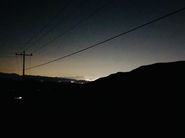
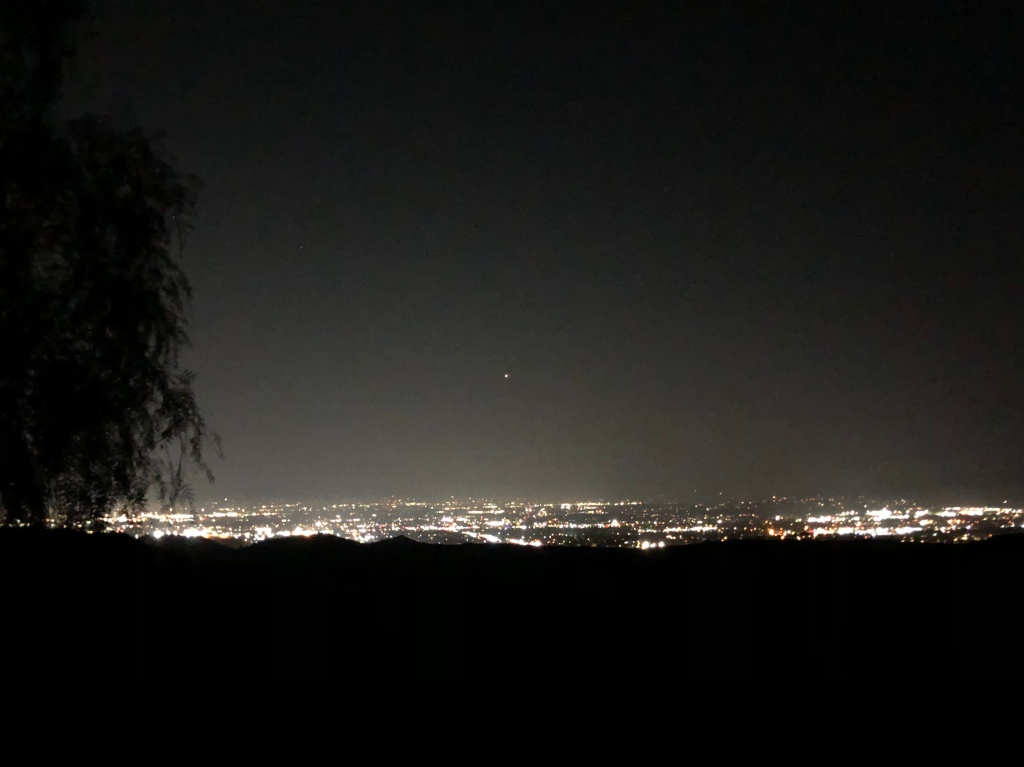
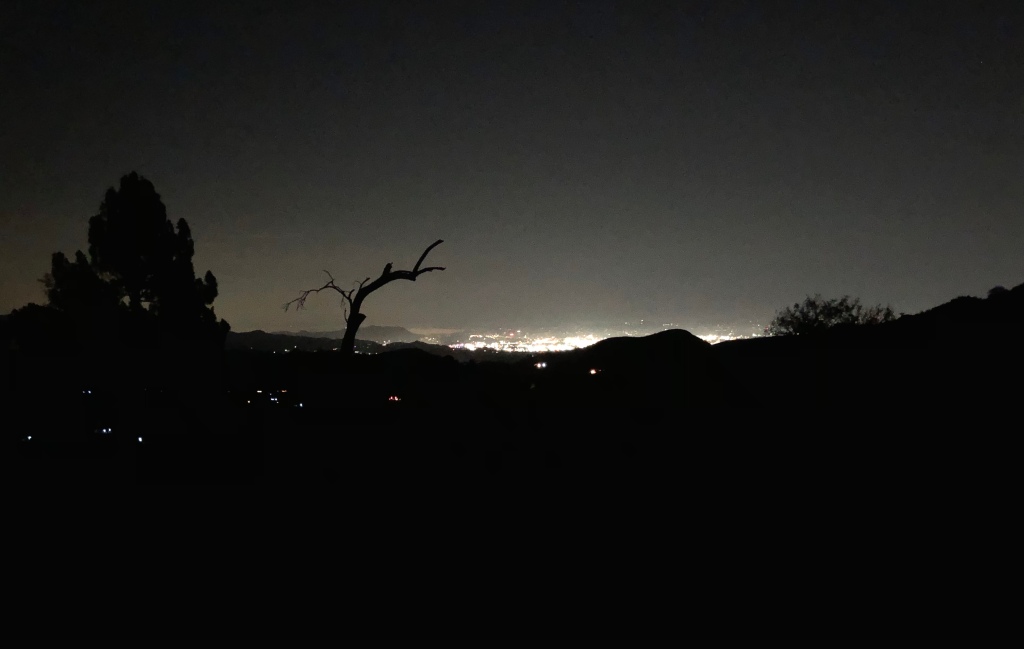
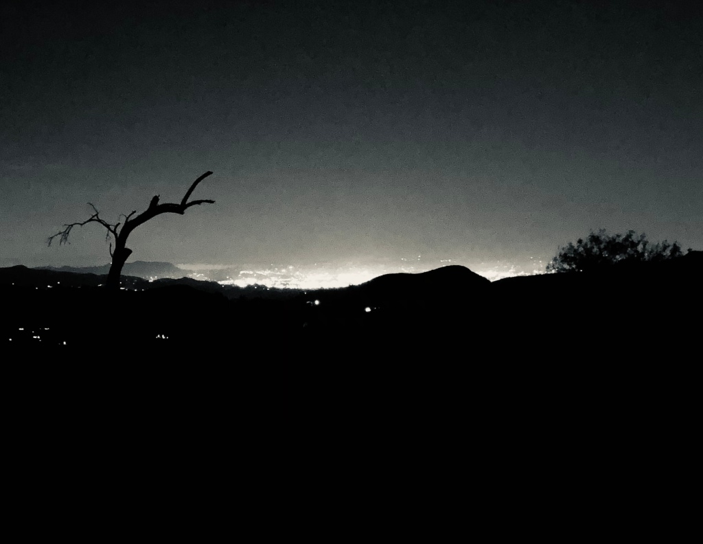
Three panoramas taken last week, encompass the magnificent View of the quadrant from the vault of Sugarloaf: first, looking northwest; second, northeast; third, south over the Valley to Topanga. Expand them, and see the land.


Uggh, we’ve got a week of storm and gloom coming, and a lot of grim, grim news. The gloom has colored the View recently. By way of making amends to Patient Reader, and by way of contrast, let’s look at the Land of Contrasts itself, luscious Lopez Canyon, back in January.


https://thesis.library.caltech.edu/8208/1/Howell%2C%20Jr%2C%20BF%201949.pdf
Marvel of nature, Kagel Canyon. Underneath, a sharp V-shaped terrain. But at some point in the Pleistecene, or, gulp, even more recently, a sudden Uplift Event pushed the Valley up hard against the San Gabriels, which were squeezed up 2,000 to 3,000 feet essentially “overnight”, cracking through the sedimentary crust, which then flopped back down again, broken up and tilted every which way. All this caused a lot of rock and dust and sand, both from the Valley’s seafloor side, and the mountains’ cruystalline rock side. Much of it tumbled down into Kagel Canyon and filled it with this “fanglomerate”, rocks and gravel mixed with flood alluvium. This forces the creek into a deep, confined channel. During the recent rains, it cut at least three feet deeper than it had been last fall. View, and read what Benjamin F. Howell has to say about Uplift in the Kagel Canyon formation.
