Welcome to the blog of writer and musician Andrew Martin. Here I'll post original photographs and observations as I encounter the history and culture of the San Fernando Valley, the City of the Angels, Alta California and the far-flung Pacific Rim… but mostly the Valley.
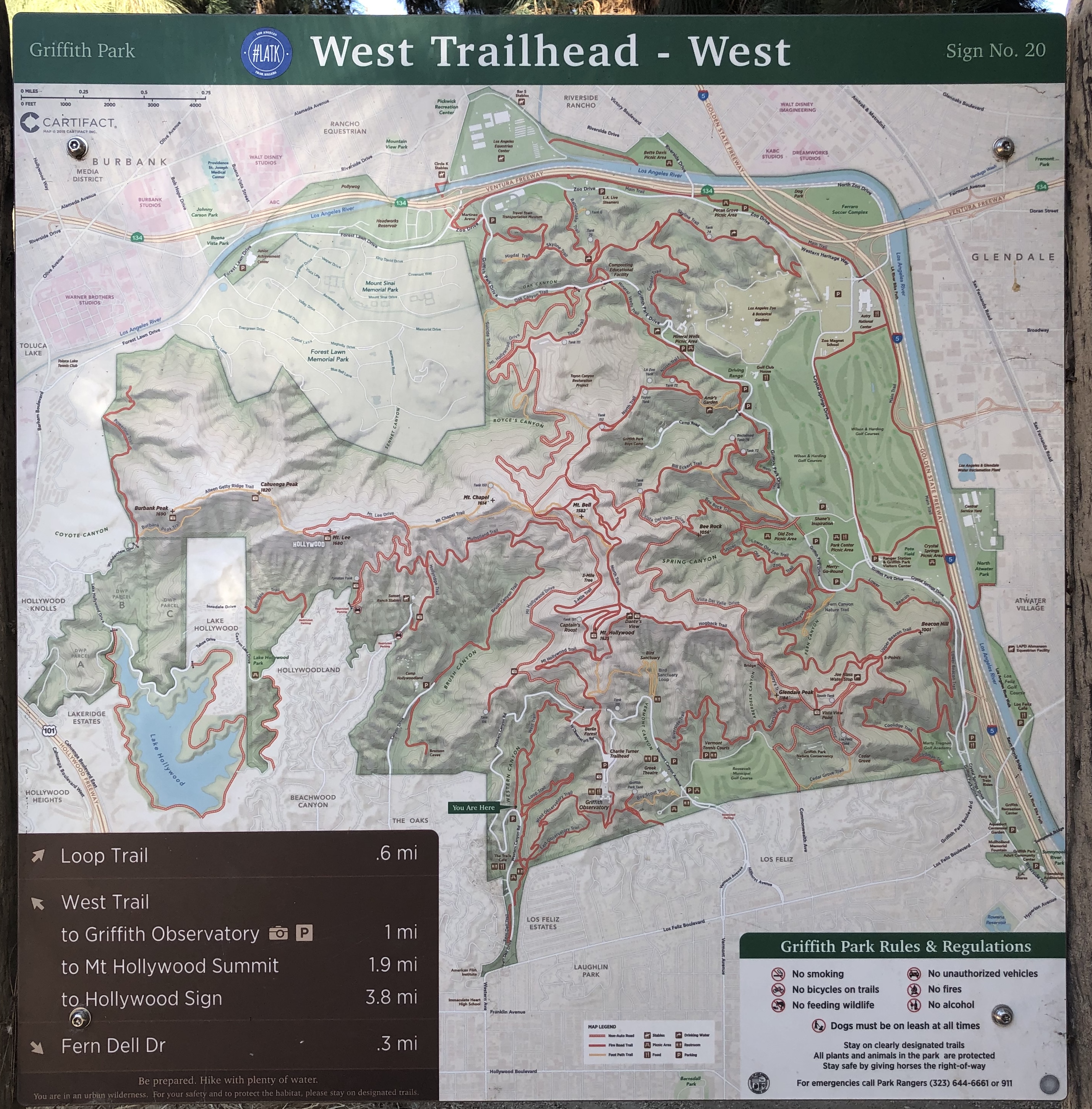
Enjoy this treasury of photographs showcasing the geology, botany, and fascinating social history of LA’s greatest park, now celebrating its 125th birthday.
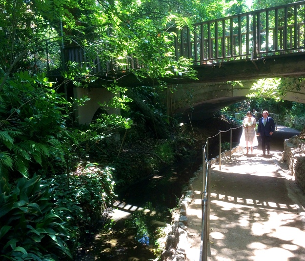
My favorite picture ever, I think. A bride escorted by her dad up Fern Dell. I had just passed the wedding party and officiant at the top of the trail, nicely kitted out, waiting in excitement. The bride was grimacing with fright as she caught the light. What a spot for a wedding! What a spot for anything.
TRAILS CAFE
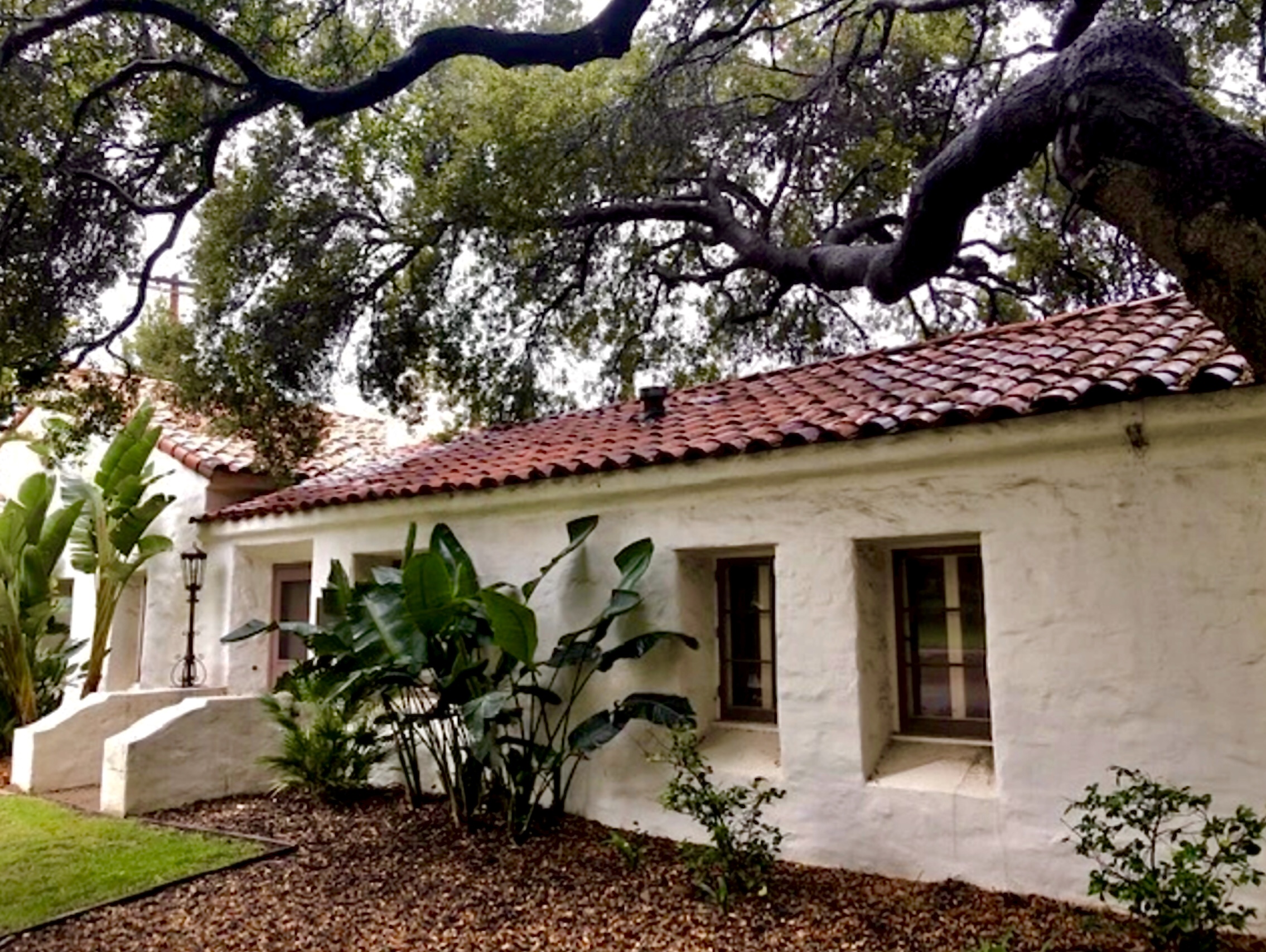
The rancho adobe (in some form, since 1795!) was preserved as Park Ranger HQ.
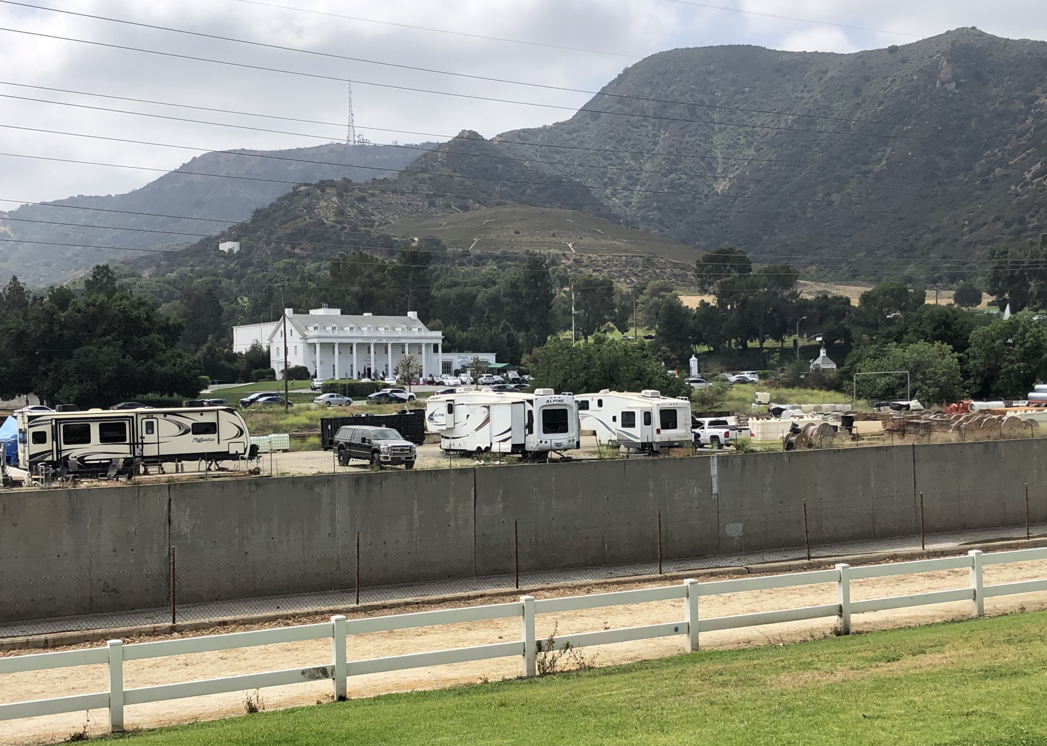
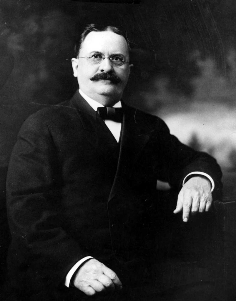
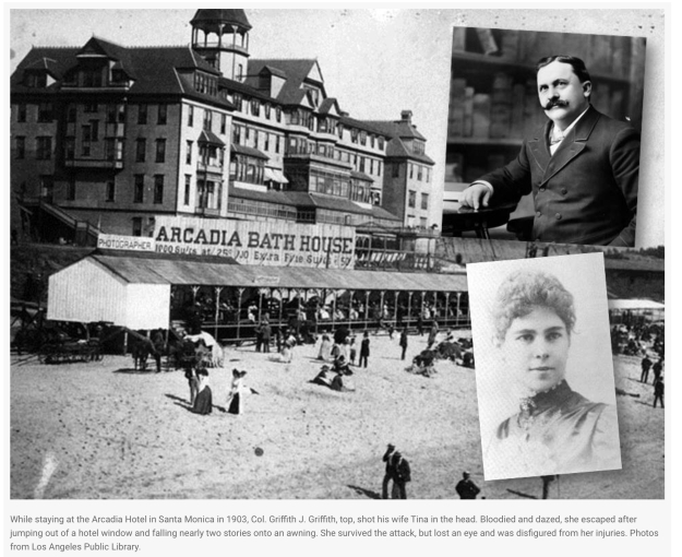
This unbelievabvly rich land was Rancho Los Feliz — “the Felizes’,” the first (or second) rancho grant in California. It was granted as a reward to a retiring military intendente of Los Angeles. The Pueblo was successfully settled and competent, the Tongva successfully relocated to San Gabriel, and happy Mexican farmers were churning out grain in the vast riverbed. Griffith J. Griffith bought the rancho from Yankee speculators for a song, and when he offered it to the City, with his grand visions of civic adornment and classical education and human uplift and ecological connection — he practically had to beg the City to take it. They were afraid to take Griffith’s gift, thousands of untouched watershed acres, because Griffith personally, had problems… it turns out,he shot his wife in the face, in a hotel room on Santa Monica Beach. The City Fathers were afraid the voters’ wives’ ministers’ wives would reject the City Council socially, if they shook hands with a beast like Griffith. He did two years in Q.
This photo is from the California Department of Corrections online article about Q’s famous alumnus, which tells the whole lurid story! Click, Baited Reader, click….
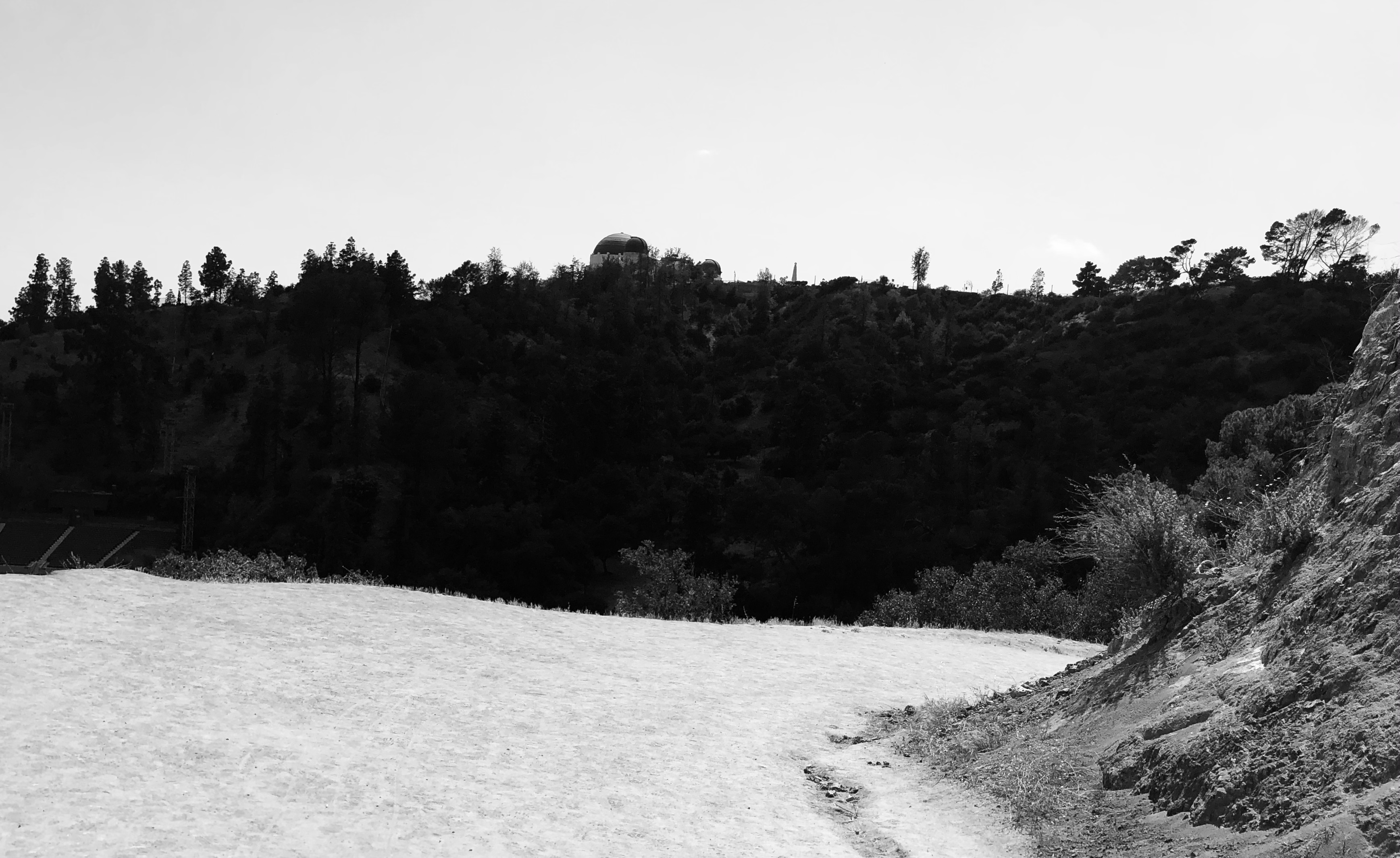
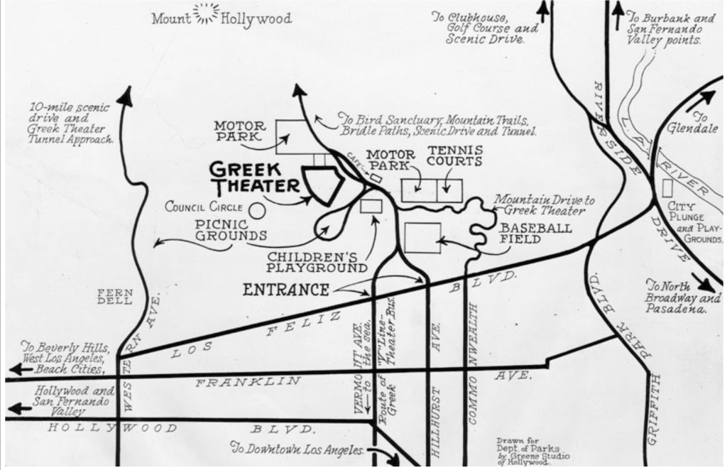
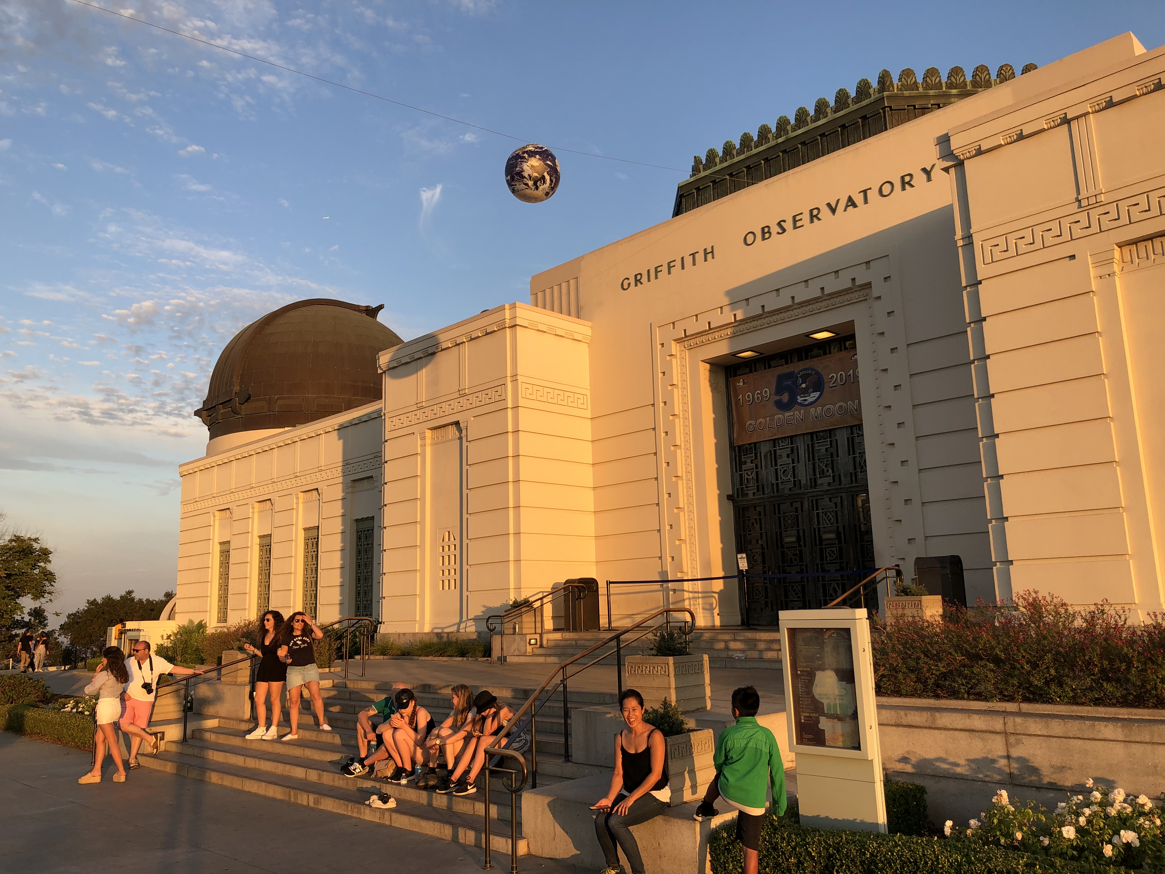
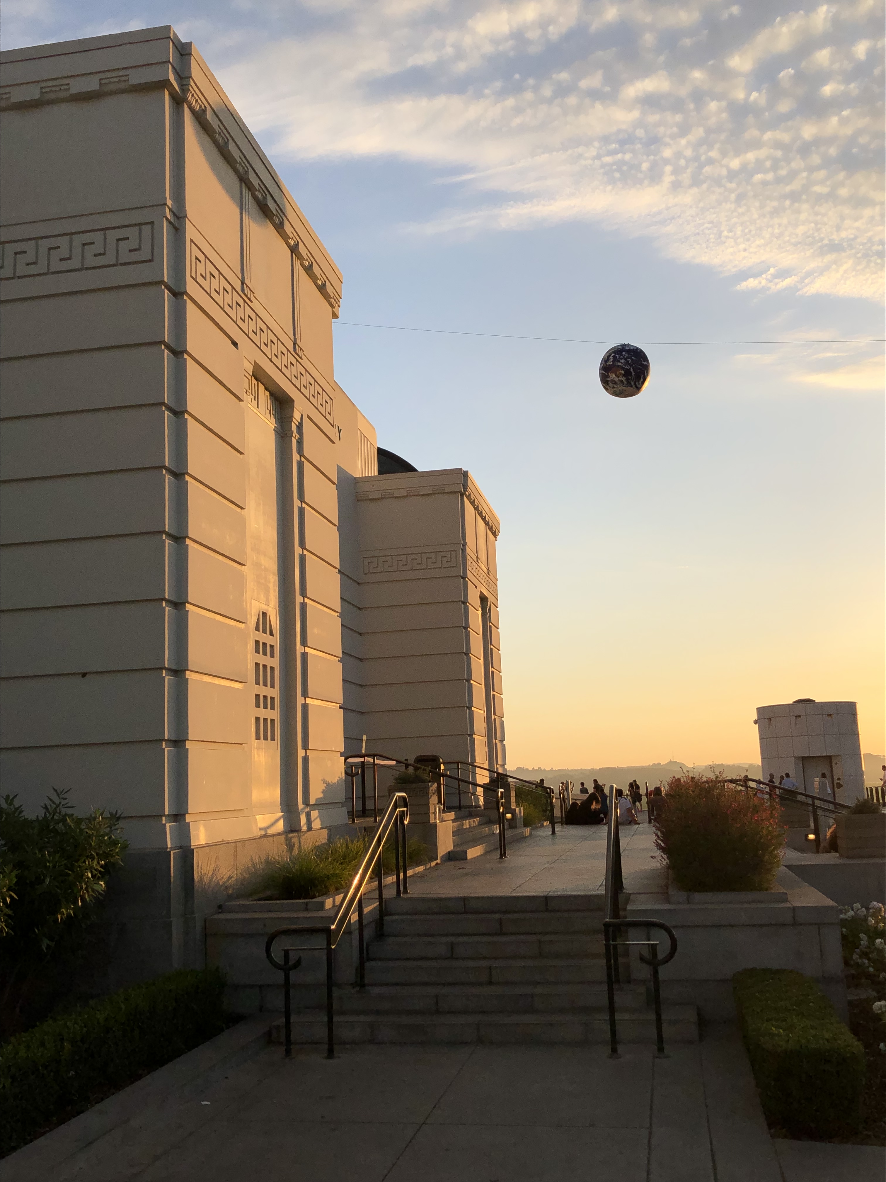
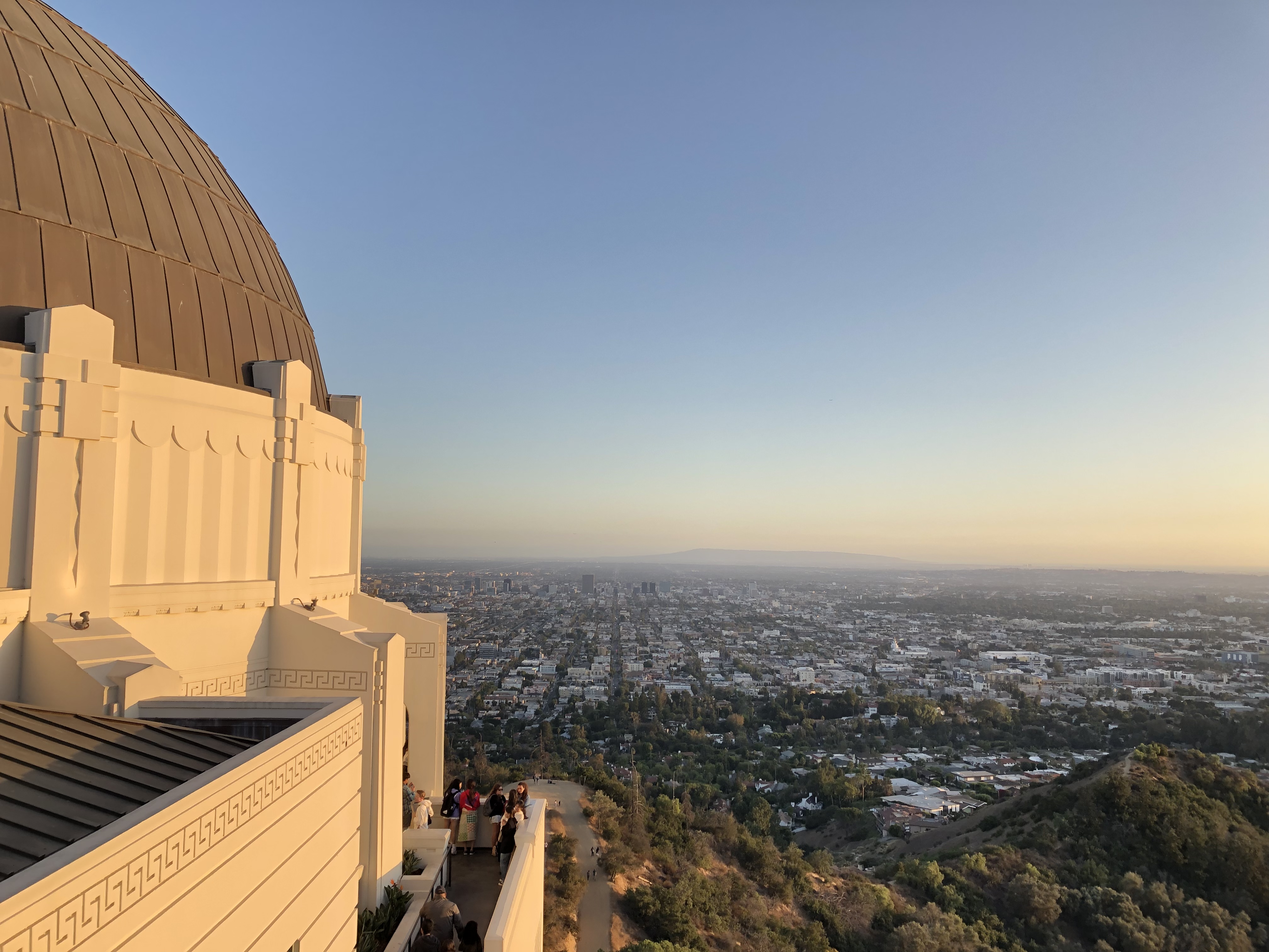
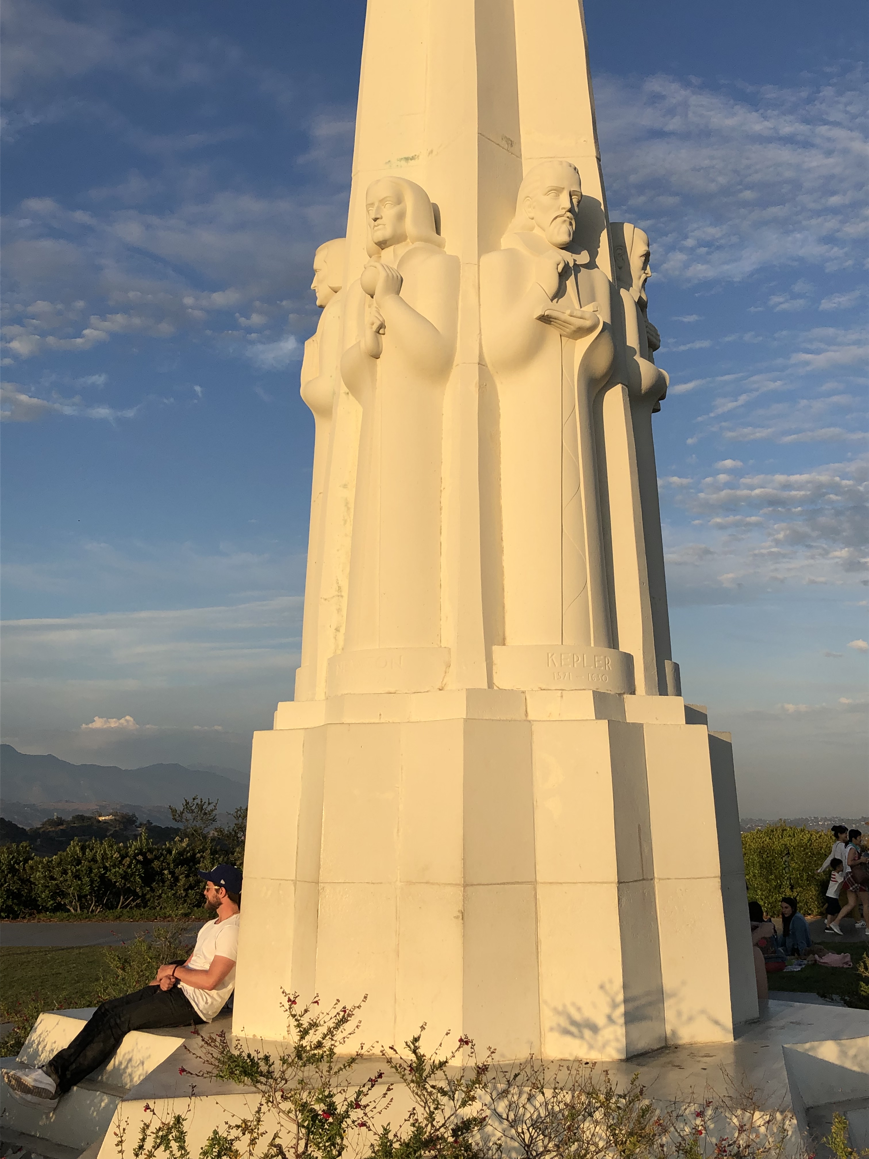
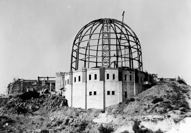
It took decades before Victorian propriety thinned out enough for the City to take possession, and it took decades more (1930!) for them to get around to building the Observatory and the Greek Theatre; both were stipulated in the conveyance. The delay was a good thing too, architecturally, for the Observatory — by then, the grace of Art Deco had come in to soften the Greek of Griffith’s preference, and the Federal Fascism that looked forward to Roosevelt’s New Deal; and it could all coalesce with modern engineering. It is one of the most iconic buildings on planet Earth (which it turns out is where we are; go inside and they’ll explain.)
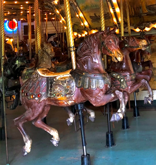
The Griffith Park Merry-Go-Round. Since we’re nosing into the Holidays anyway (Sinter Klaas, Dec. 5), and there’s apparently no other footage anywhere of the Merry-Go-Round, and the dead operator who loved and maintained this instrument for years can be seen in the video in his Sinter Klaas cap, here is Jolly Old St. Nicholas, with bells and whistles, and the moose bugling along. Enjoy the View Walt Disney had, a bench in the Park, watching his Merry- kids -Go -Round, and see if you dream up anything as lucrative as Disneyland, like he did. Dream harder…
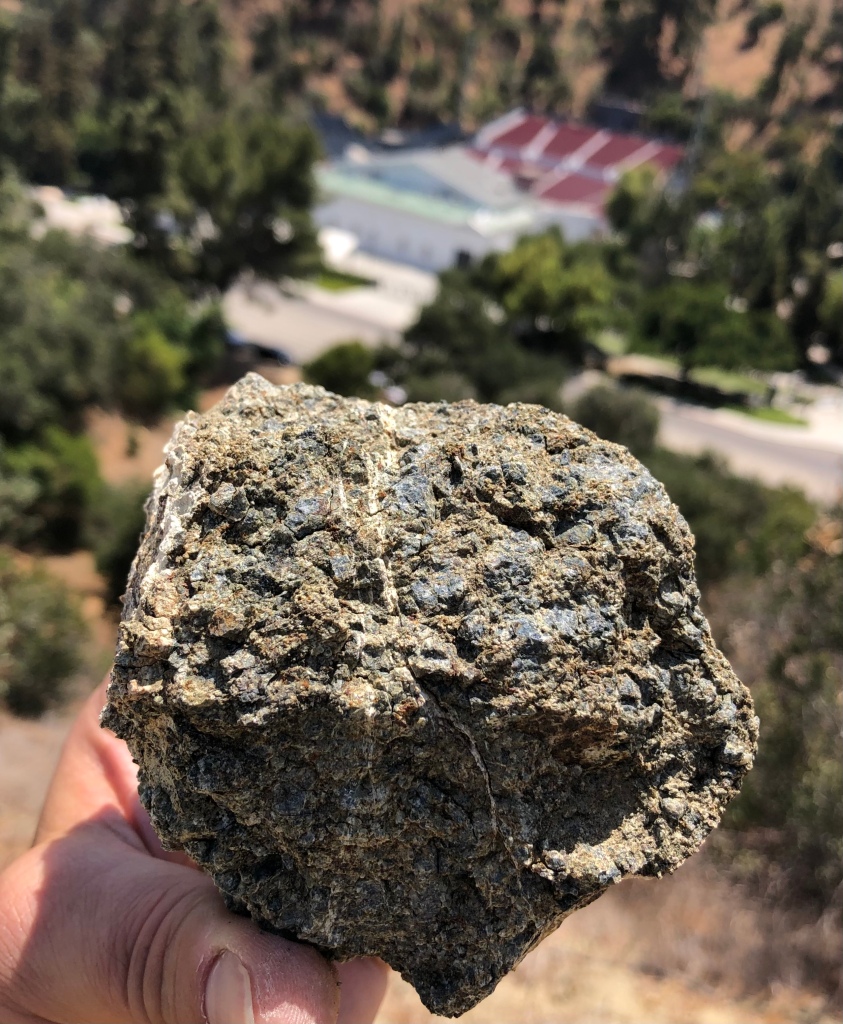
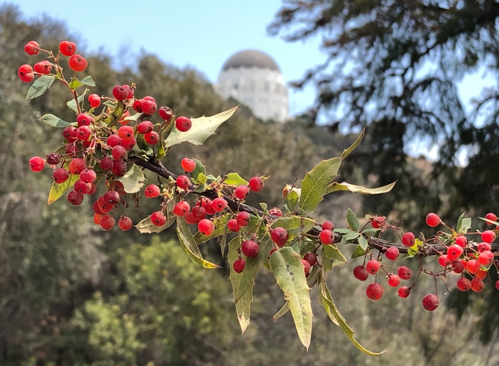
“Griffith Park is 125. It looked 125 five years ago. It will look it twenty years from now. I hate parks.”Holly-leaf cherry, Prunus illicafoliaToyon, Heteromeles arbutifolia. It is the official native plant of the City of LA.Covellite, a secondary volcanic rock.The gorgeous Nevins Barberry, Mahonia nevinii, is one of the rarest plants in the California Floristic Province. Around 500 wild individuals of the species are recorded, and most of those occur in Griffith Park.
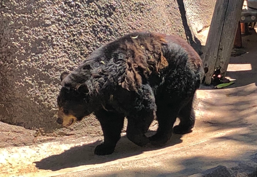
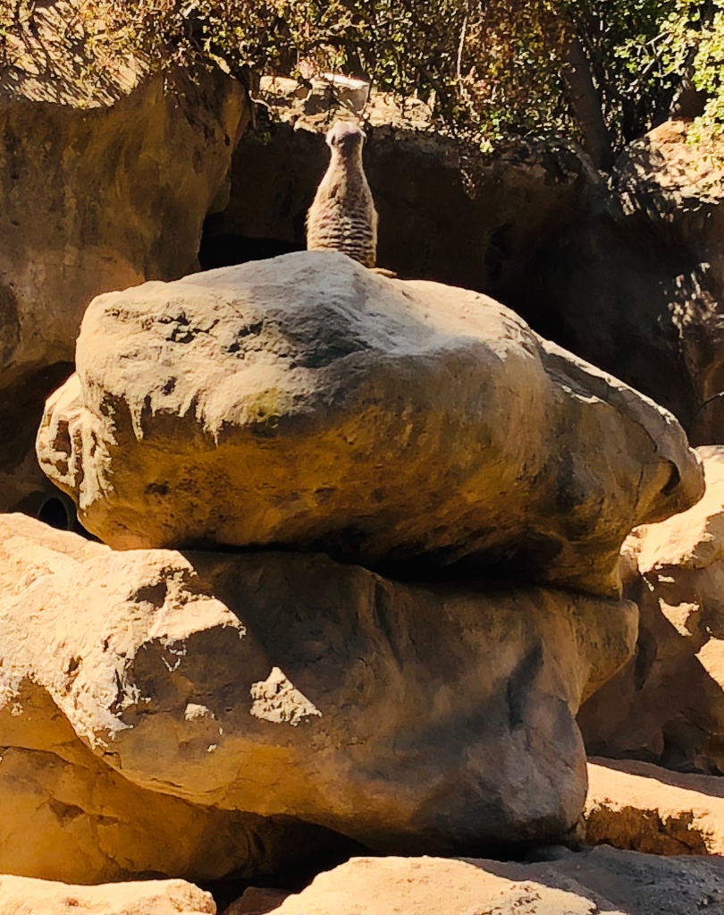
Doesn’t everybody have zoo shots like this? This is a black mountaintapir, a splendid animal they say. I suppose its complete invisibility in the shade is a valuable survival trait.
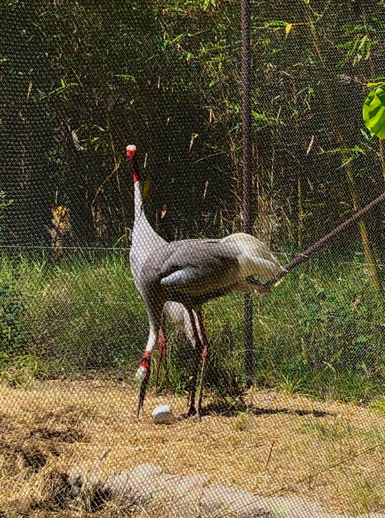
Breathtaking saurus cranes: Antigone antigone. They’re almost as tall as I.
Proudly brooding TWO eggs!
The sea eagle. Awesome and powerful. Of all creatures, surely it is meant for “wide open spaces.” Those wings, those talons! But the LA Zoo is, alas, this corsair’s St. Helena — and don’t he appear to know it.
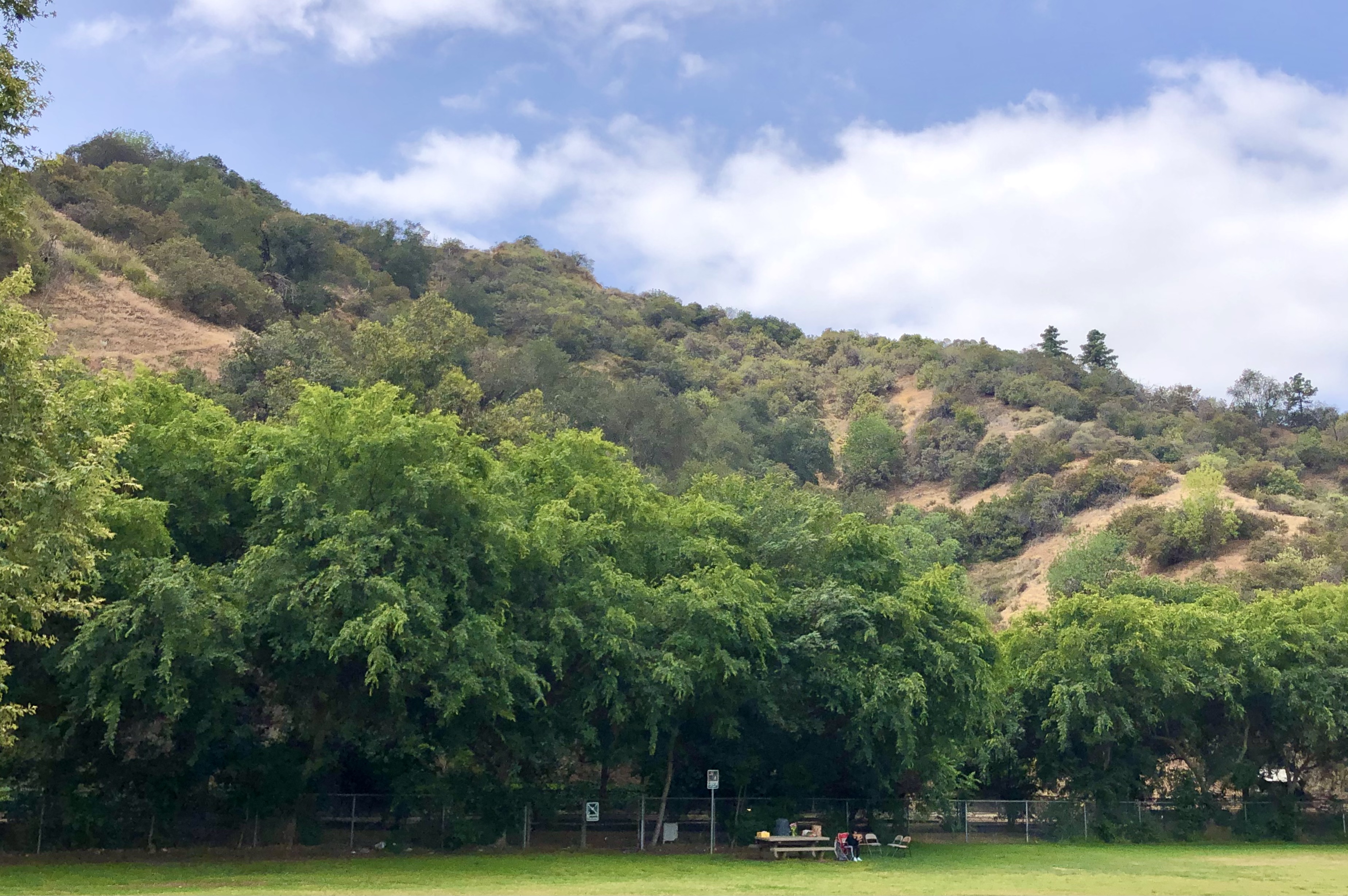
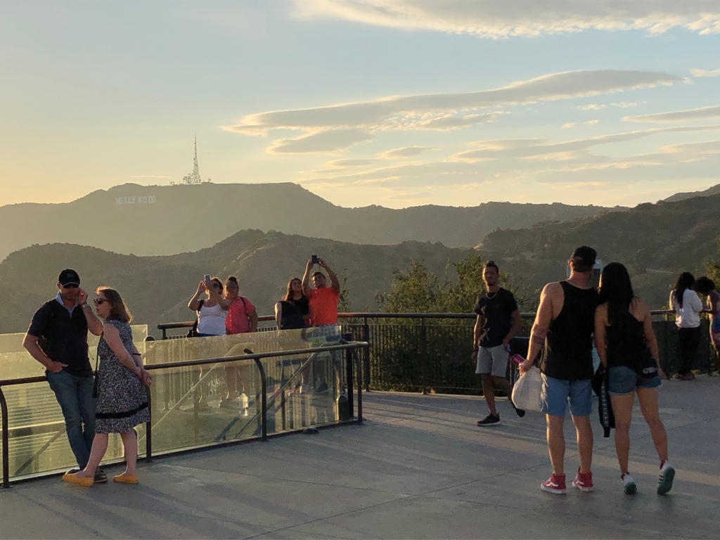
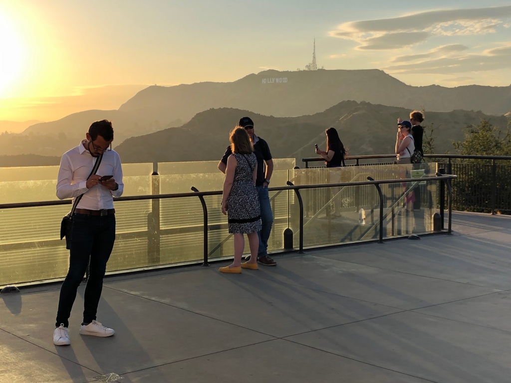
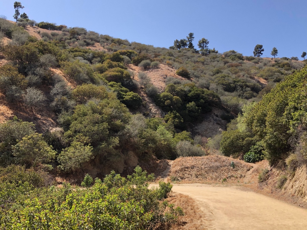
I went to boring-old-Griffith Park partly because I haven’t been much lately, and I thought it would be full of People, and I imagined the thrill of going unmasked somewhere where life promenades gaily.
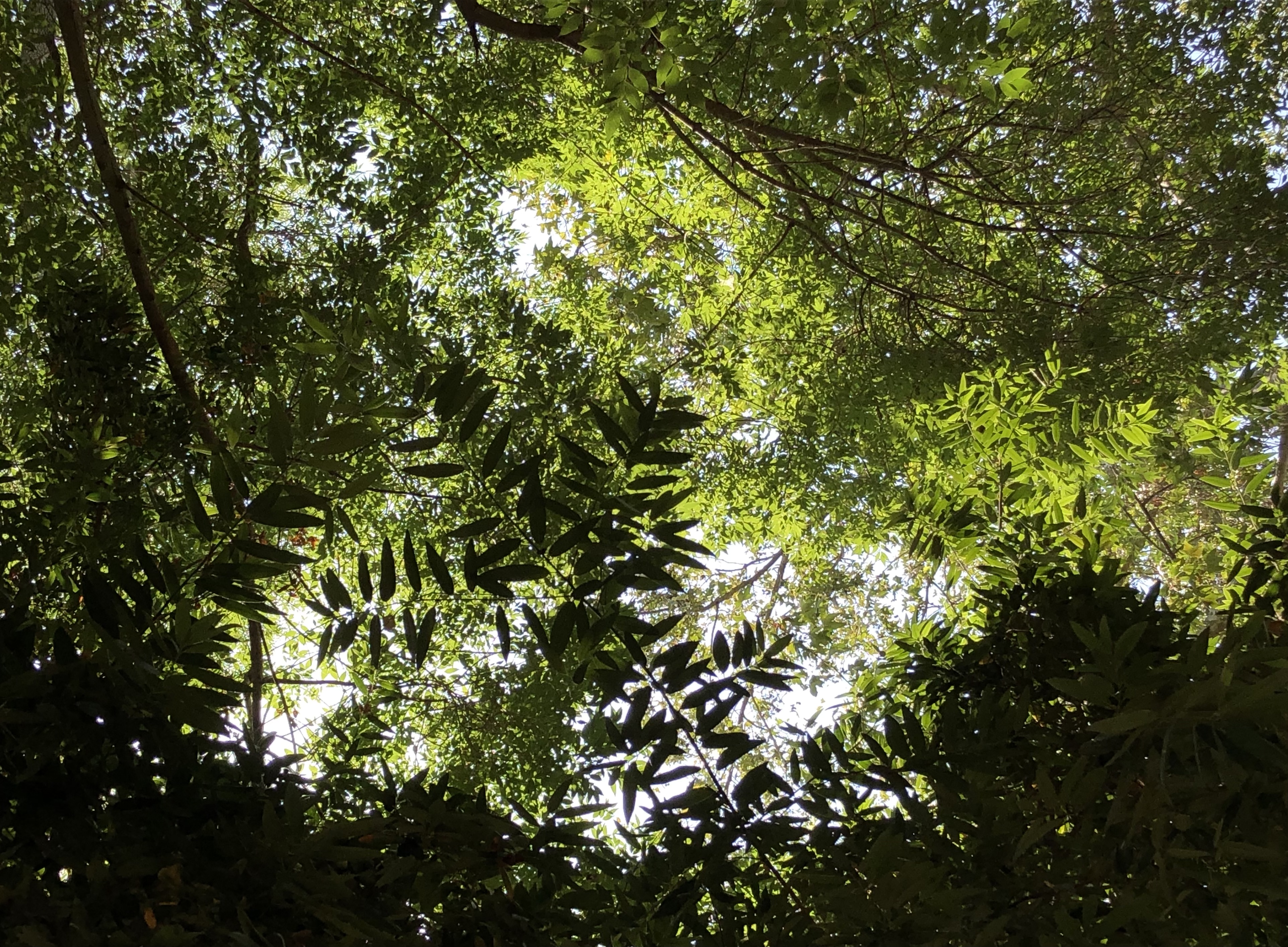
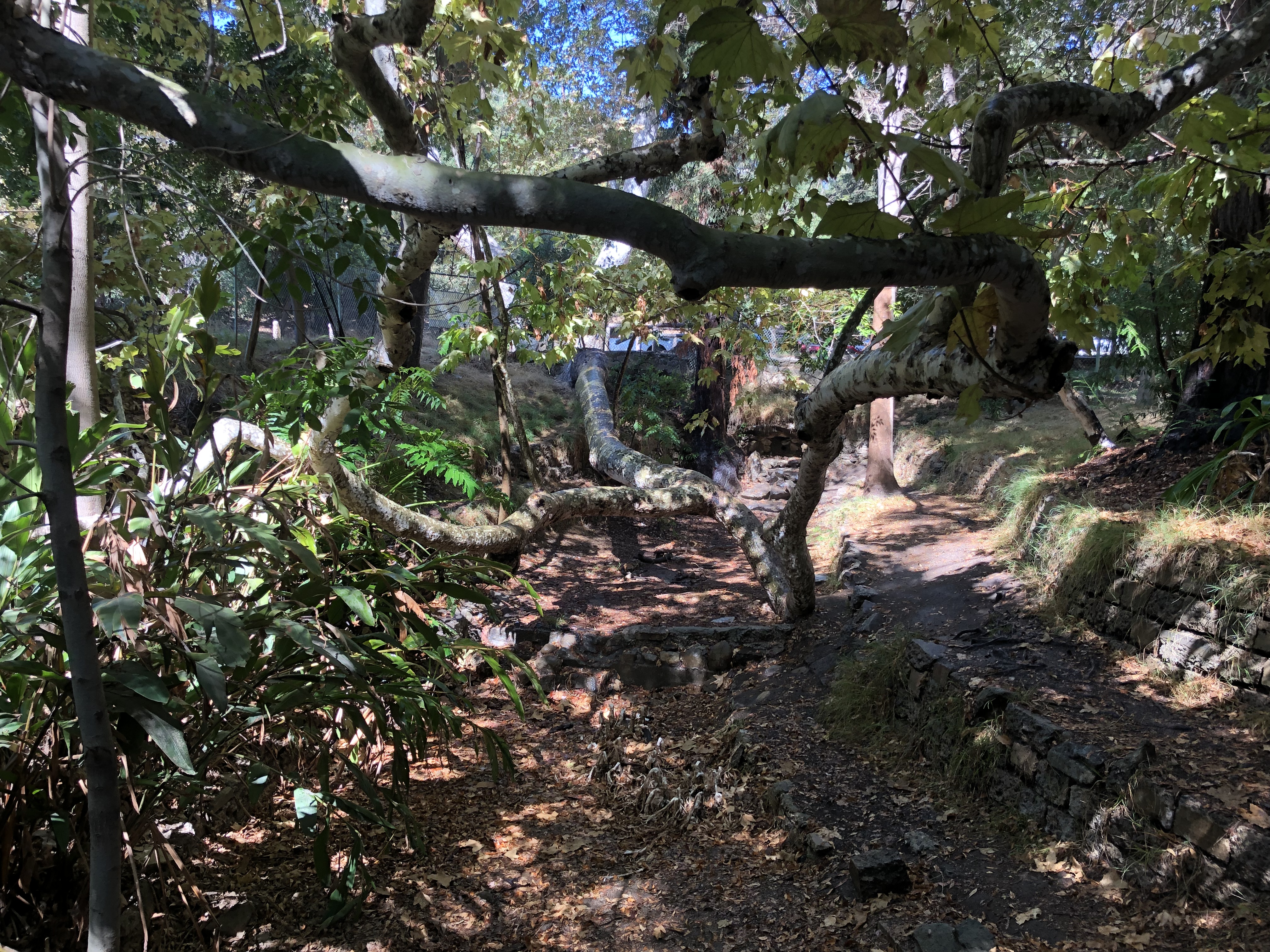
It was a relief, actually, to find it was rather sleepy. The glens were lush with hush and cloaked by cloud cover, making for high-resolution photographs, and reflective hiking.
A bit too reflective, old chum. The topographic scale-model is wonderful, but you can barely see it. And it is the ONLY exhibit about geology left in the entire park! The Visitors’ Center is tired and small and out of date; it offers the public little interpretation of LA’s most amazing resource.
Griffith Park epitomizes the potential for a SFV Nat’l Geo. Monument. The strapped City desperately needs federal assistance to install new exhibits; encourage respectful public access to sites of awe; put more rangers on-site to support public education and awareness of earthquakes, water, and chaparral ecology; and deepen America’s understanding and appreciation of the unique geology of our region.
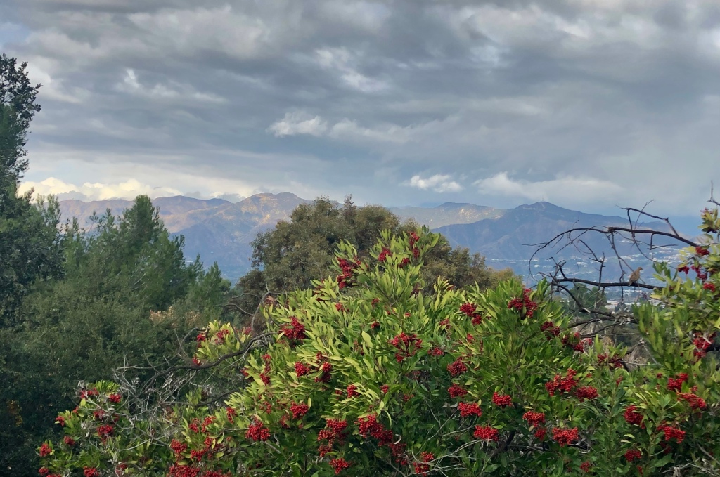
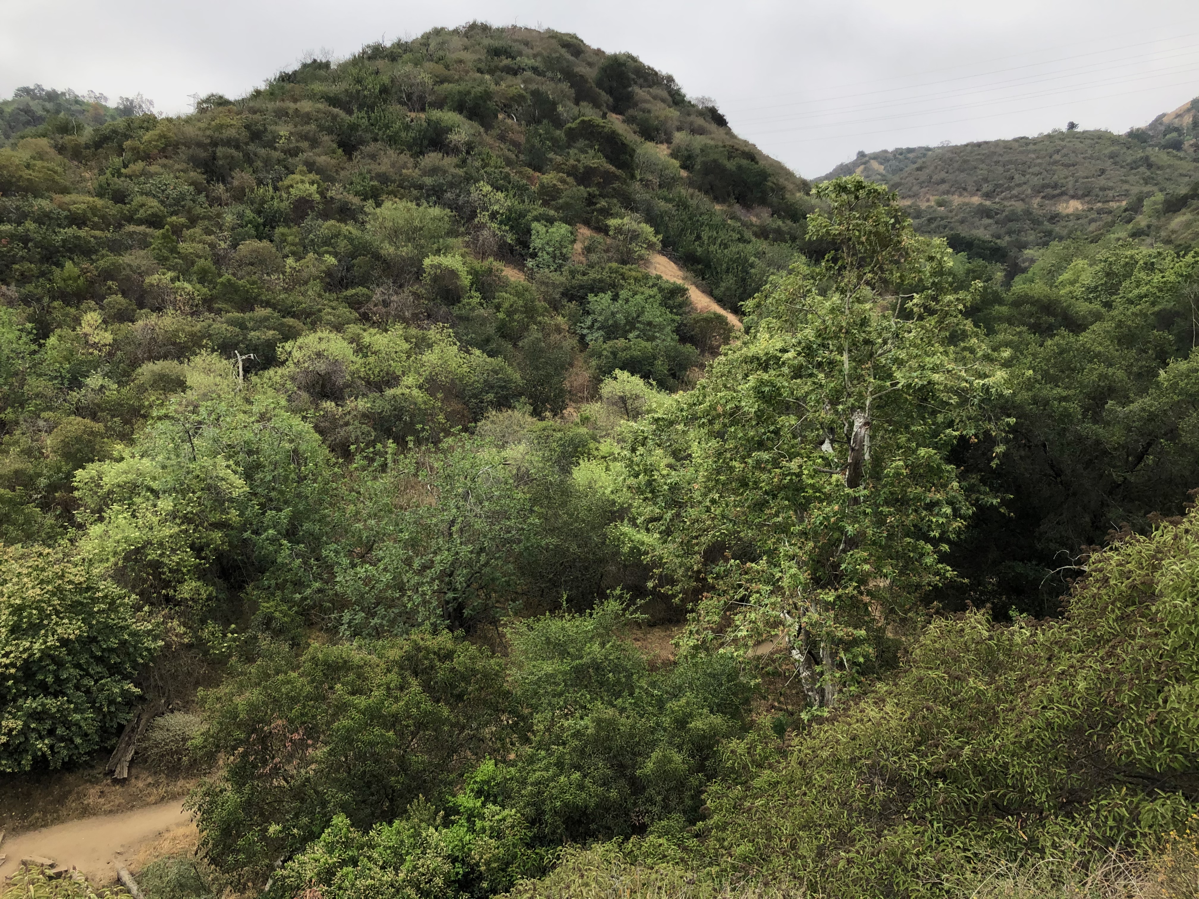
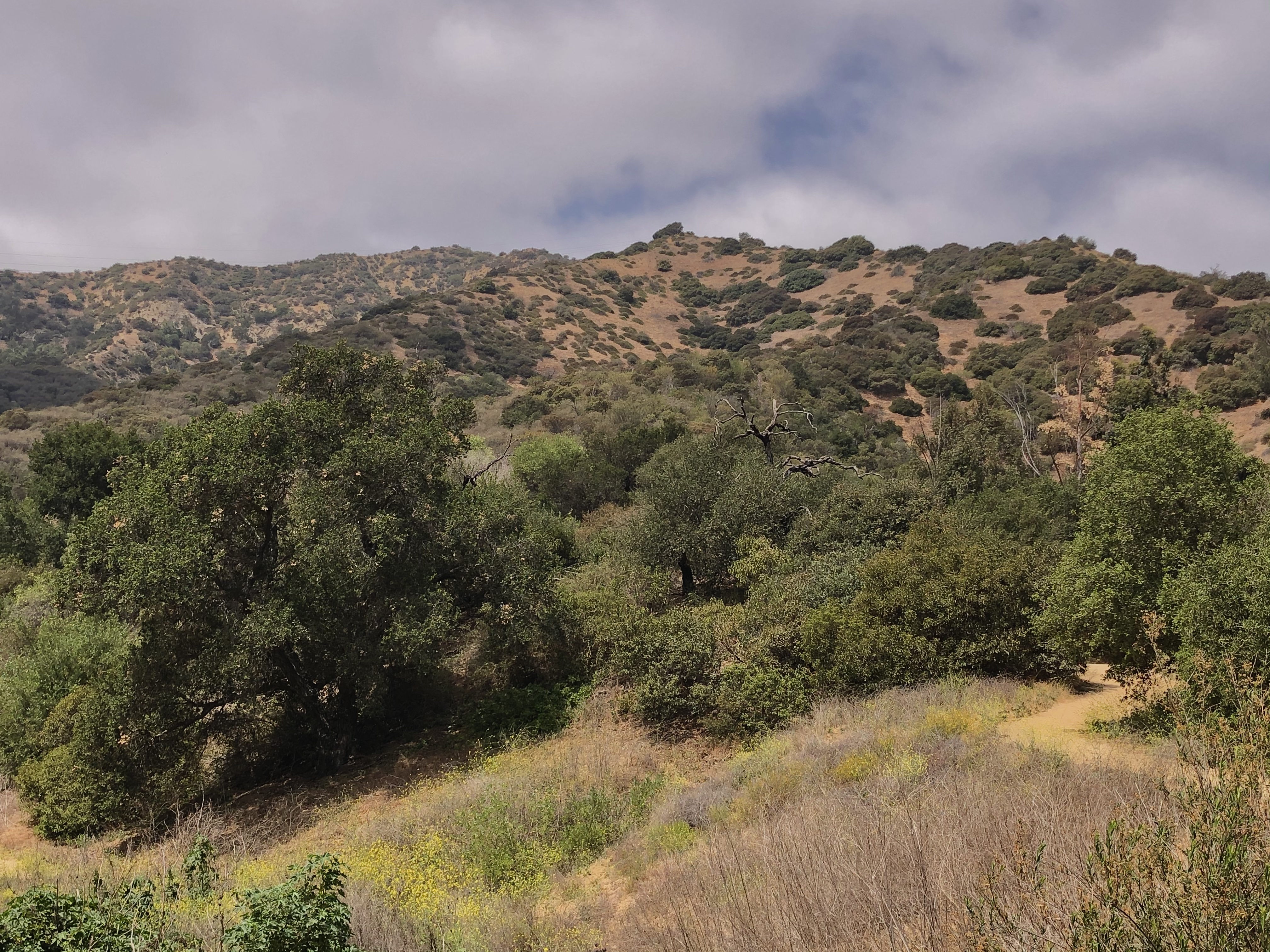
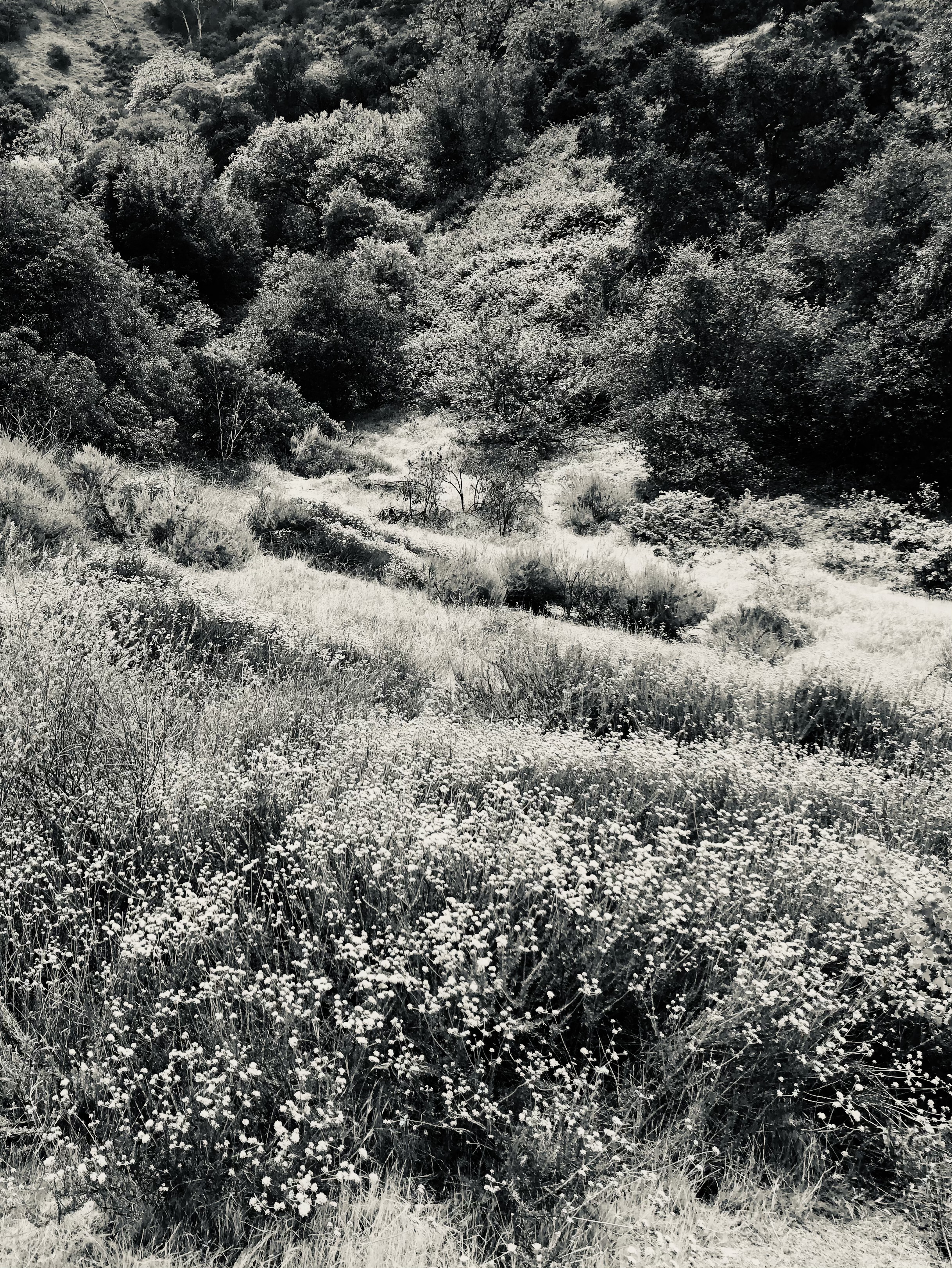
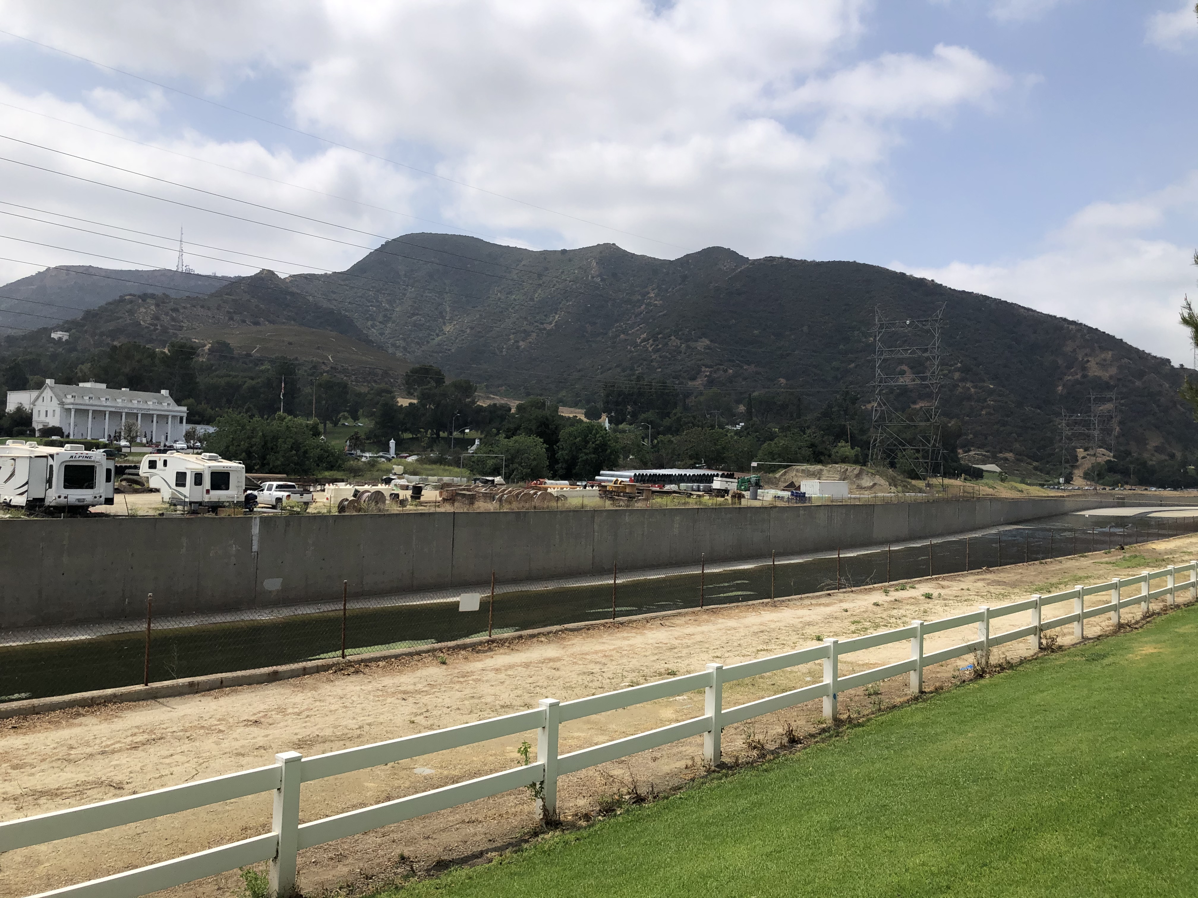
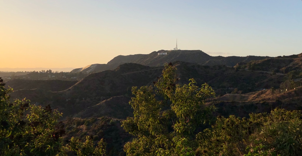
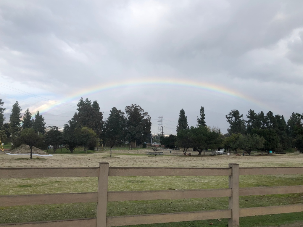
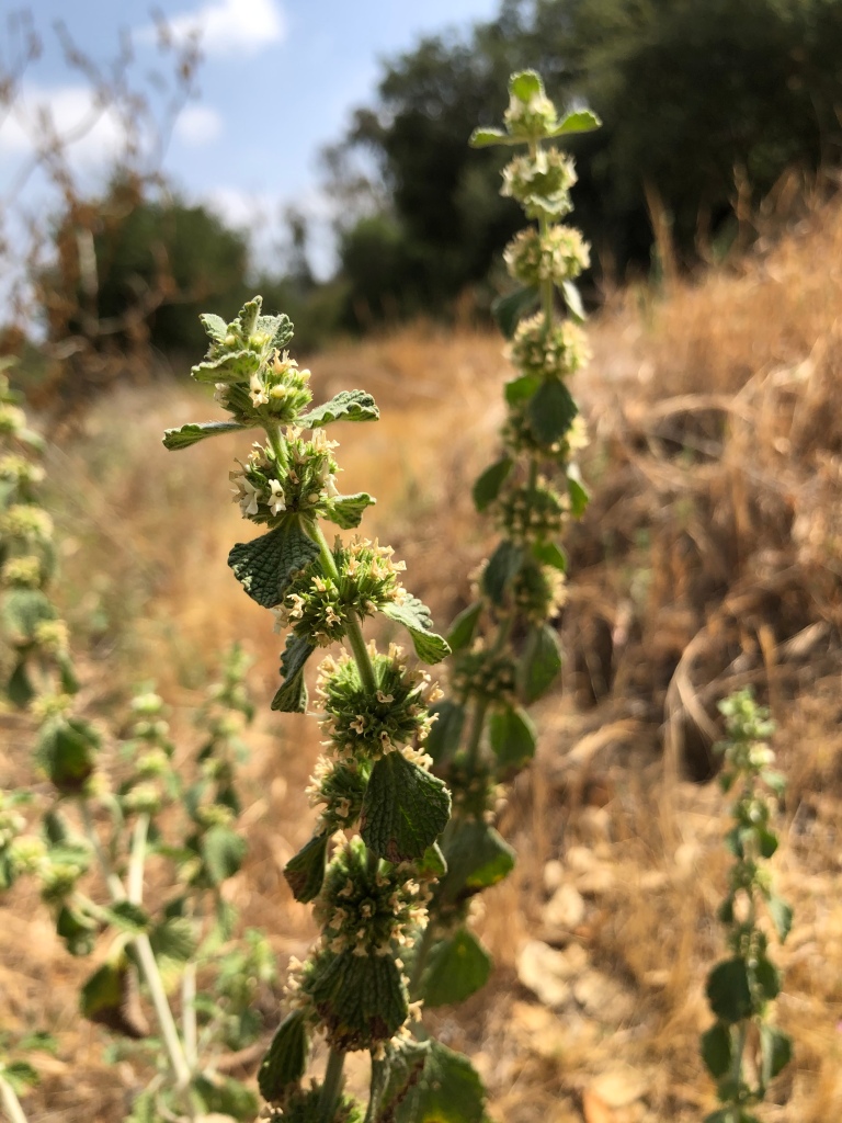
I went hoping to see whether the the Santa Monica Mountains might be involved in the geologic drama currently gripping the other Valley ranges — rapid groundwater changes, newly active vent formations, etc. Once more I was staggered by what I found on the ground. But before we go play in the dirt: Marine–layer–gloom + Sage–in–bloom = Aromatherapy.
Toyon in all stages, new blooms to old berries.
Holly-leafed cherries going great guns!
Prunusilicifolia
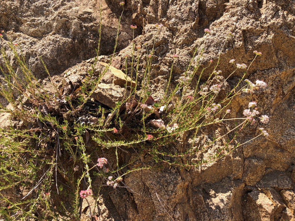
Buckwheat! But note the water differential in the onion-layered zones of the bowl…
MIKROKOSMOS, IN THREE PILES OF MUD
Nobody would look twice at any of these, nor would I have, before a few months ago. Even if you did — Just eroded sand piles, one would think; LA’s usual trashed public trails. Rubble beside a fire road. Fill dirt, bulldozed by a parking lot maintenance crew who left their job undone. Awful; burned hillside ruined by drought. Come away from there Bobby, there’s broken glass and syringes and snakes.
Understanding even the surface features of these things enough to see them, is taxing. Nobody has ever written a single word about them in Los Angeles, ever, I think. Perceiving them as essential organs of the Earth, that belong here, and that reveal the inner workings of the LA watershed, blows my mind to Cloudcuckooland. Astronomy, physics, geology and geography; hydrology, chemistry, organic chemistry, biology; paleontology, social history, economic history, industrial history; ecology, ethics, social policy. These mud piles will really kick your hyper-specialized 21st century human brain into shape.
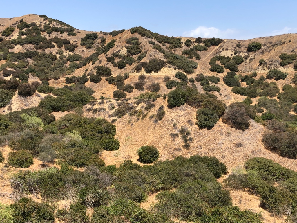
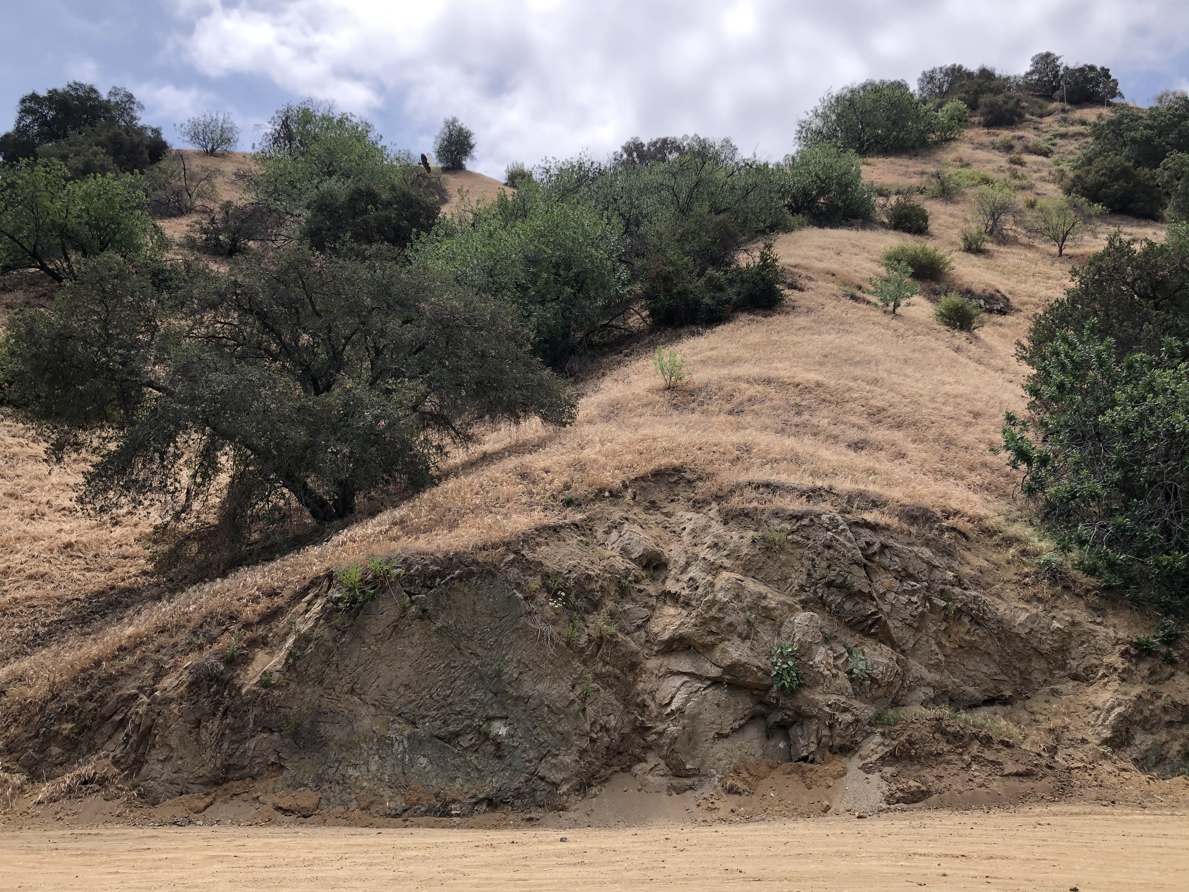
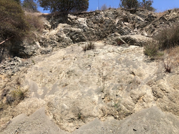
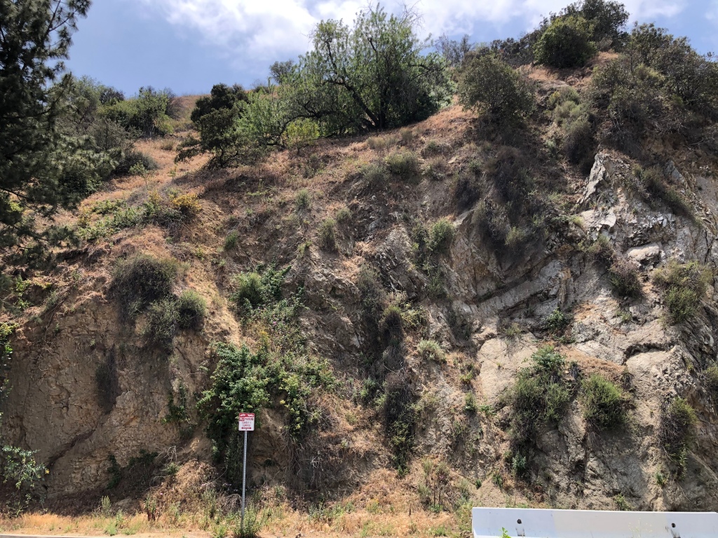
EXAMPLE1 — Of the three formations this is the subtlest. But it’s a whole ridge full of recent activity, which, together, illustrate the themes nicely.
These structures naturally form where there were volcanoes, those familiar molten rock-one-pipe-and-lava flow volcanoes that LA isn’t supposed to have had any of, but which racked the region during the Miocene, about 17 mya. Back then our fault block was migrating north, to collide with the mainland (at the Point of the Riviera, now San Gabriel Fault); subducting gouged-off sediments down into an accretion prism, including members of the famous MontereyShale. For ages, trillions of microorganisms had been down in the shales and sediments feasting on the oozy organic goo in the layers. As the layers were folded, tilted, compressed, and broken open, first underwater, and then underground, hydrocarbons and sulfur gas gained the opportunity to release vertically to the low-pressure surface. Lava infusions (andesite? Alaskite?) roared up through weak joints in the infinite layers of shale.
Even millions of years after the infusions, the lava tubes and cracks and joints have been — are still being — infiltrated by breccia-conglomerate pipes saturated with mineral brine, under pressure and heaven-bent. Steam escapes into the first fresh air or wet sand it can find — often a creek bed, or at the crease of a road or trail cut. When the de-pressurized brine goes “pfft,” the heavy metals get jilted, emplaced on the rocks around the vents. All this, I’d barely grasped so far.
An old cauldron. The sumac in the center of the pipe, and the water it draws up, the microbes and mosses and lichens that eat some of the hydrocarbons in the water, and concentrate others, all play parts in making this geology happen. Right along with the quartzy-schisty sand of the diagonal layers, and the re-metamorphosed lava that long ago surged through those layers and formed the little synclines around the rim, like a king’s crown. Note the sumac essentially has a vase — a series of layered, lined, nested pots or chambers to hold harvestable water between them — until it boils with acid and burns the sumac. This cauldron was recently active, but not this year —you can see last year’s undisturbed leaves at the base (toasted, presumably, when Example #2 vented recently…see below).
Now a new wrinkle: some of these vents, millions of years after the host volcano has retired, and after the whole mountain has practically been eroded away, still create geo-chemical ovens that cook up the rare and valuable minerals — iron, copper, gold, silver, lead, zinc and many more. These structures are called porphyries; and they are the source of most of the copper mined today, and copper prices are soaring, and everybody in the world is looking for them in remote third-world spots, even on Mars; they plan, wherever they find them, to bribe the local dictator, strip-mine the copper with slave labor, ship it back to Earth, and get rich. Those porphyries. In Griffith Park!
Example2 is stunning — an arch with points or rays like the diadem worn by the Statue of Liberty. (Damnyou! Youblewitup!) It has several cauldron areas and several vents. These have been recently active in mineralization, but still I could barely grasp how the alteration machinery works to change rock to sand, back into ore.
)
It seems to be dismantling old structures on the hillside with acid washes — carefully sorting out the rocks, vein by vein, and altering them as it washes the piles downhill…
The iron-oxidized vein of brown chert, and the sandy quartz of the sediment layers, and the Alaskite (granite) lava intrusions, have all the ingredients to make chalcophyrite, the primary copper ore. Presumably, although the porphyry is eroded away, these mingled piles or residue will still eventually sink together below the road, and get covered with other sands, until the next big rain or liquefaction earthquake. Then they might be re-washed, re-leached, re-doxed, and fuse together as a richer copper ore. The more times this happens, the more copper-rich the ore is made, secreted just below the water table (here, under the trail surface).
Turned to copper sulfate?
Porphyries were so-called by the Romans, for they found copper ore conveniently near their beds of lovely red and purple “porphyry” column marble. The name has stuck, though there is no porphyry marble in the Valley. (The chemistry doesn’t require red marble, just any limestone contact). Lime brings the carbon to a floating groundwater party that already has plenty of iron and sulfur. Heat and pressure can do the alchemy far below ground, but if certain salts and solutions are present, then all you need on the surface to get the reducing action going is for the groundwater table to rise. It could be ordinary rain, sinking through the cracks — ‘meteoric’ water circulation, leaching out metal salts. Or/and, it could be a tectonic compressive shift, like an earthquake on a thrust fault, that forces water and brine to mingle and rise, cracking rocks en route, cooking the salts, separating the dross, and adding or removing oxygen, iron, sulfur, carbon, hydrogen, etc to make metals. (The more modern term investors use is an Iron Oxide-Copper-Gold Deposit, or IOCG. But specifically copper is still called porphyry copper.)
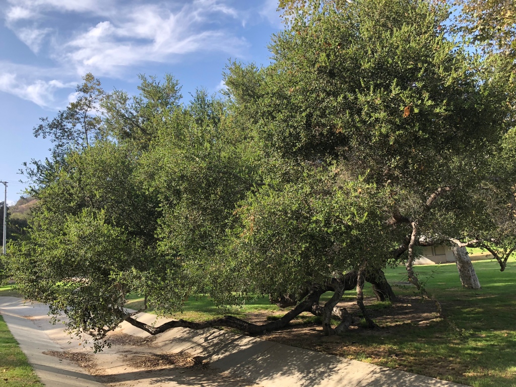
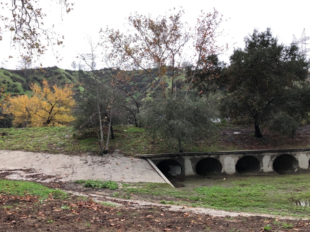
Example3 is from a parking lot so forlorn, so uninteresting, so damaged-looking, that even in Griffith Park, with THOUSANDS of acres and THOUSANDS of visitors and only THREE parking areas, and though it’s right on Zoo Drive, is always wide-open. This time, Patient Reader, you’re on your own as far as interpretation, as I am, since I’m the only resource for researching these things. A few notes: 1) the fancy colors are likely the copper minerals bornite, chrysocolla, azurite, and cuprite. 2) This hillside is likely to repeat porphyry pots all the way to the top. 3) The Hollister Fault is just over that ridge; 4) the Montgolfier balloon shapes are tipped to the left, or east; 5) and those oaks in those old cauldrons, were likely vertical when their acorns sprouted. Maybe you can tell me what’s going on!
So: while these vents are not magmatic eruptions, they are phreatic engines which happen in, around, and because of, an old volcano. Porphyries seem to be a manifestation of late-stage volcanism. They are common around the Pacific Rim where oceanic crust has been subducted, especially in convergent continental plate collision zones like the SFV. But seriously, you ain’t seen nothin’ yet. We’re going into the Hollywood Hills next, where the rich are getting richer every time it rains — though they don’t know it, and the fumes may kill them. Comedy is easy — geology is hard.
This little puff of rare earth minerals just starting tickling the rim of my hat —
Next time, we’ll talk about what I learned after months of researching: that nobody should ever handle chalcopyrite; and we’ll discuss why if you’re looking at a rock formation, and coughing and choking uncontrollably, it isn’t the dust and you should leave the area; and why shuffling through sand piles to get close to pretty rocks, can leave chalcopyrite exhalations on your shoes!
THE CALIFORNIA FLORISTIC PROVINCE/ SAN FERNANDO VALLEY NAT’L. GEO. MON.
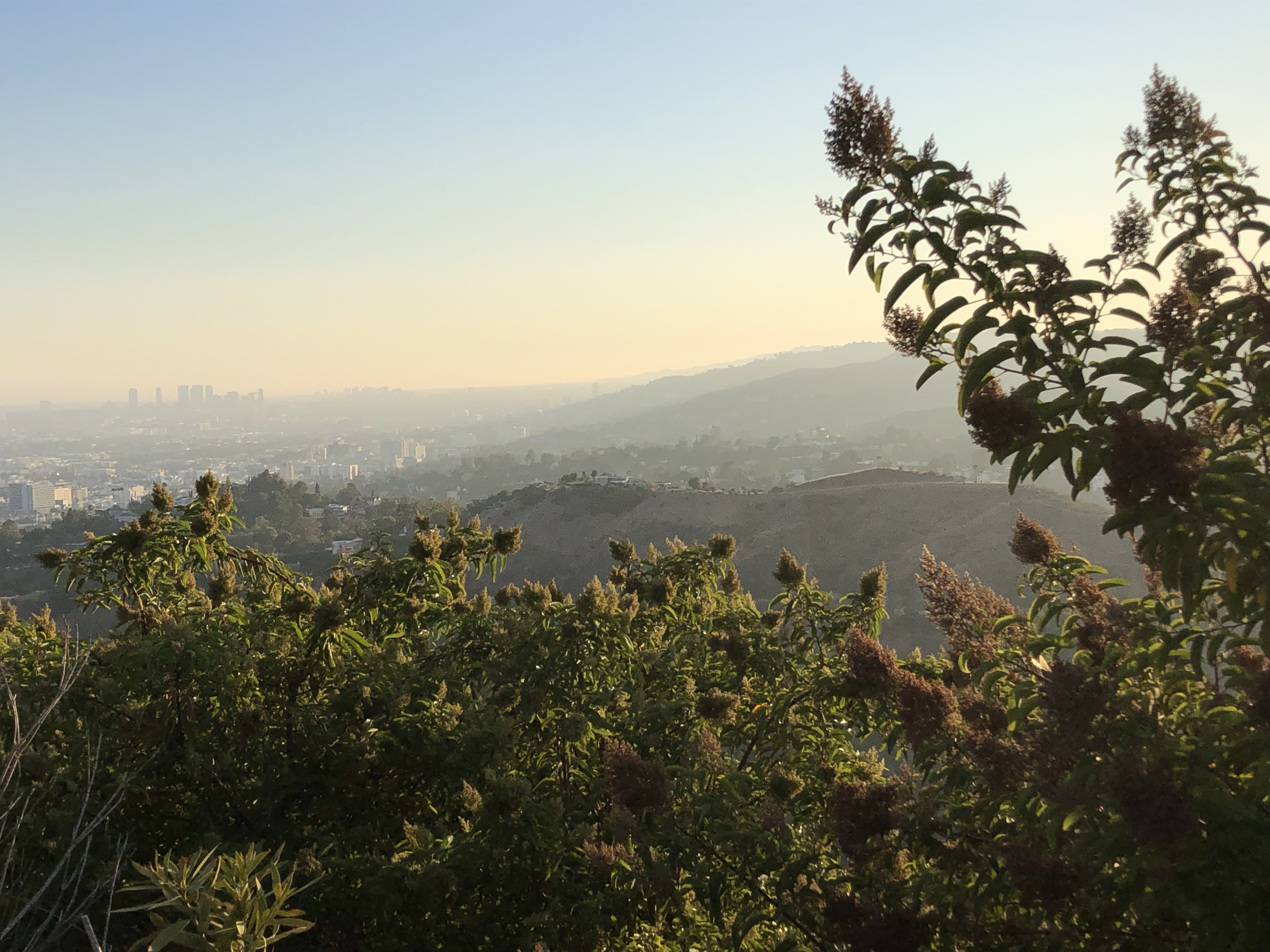
For Patient Reader Down East: StickyMonkey–flower!
Copper grows out of these arches; so do monkey-flowers. Below: Elsmere Canyon. Hydrocarbon petrology don’t faze them monkeys.
The golden face-pullers are a glory this month in all the SFV Canyons, and throughout the coastal Golden State. They epitomize the integral relationship of the CFP and its complex mineralized soils. Monkeys are a great example of how protecting one, protects the other. (Photos from Elsmere Canyon, Griffith Park, and Laurel Crest.)
Mimulusaurantiacus — the “little orange mime,” “little golden joker.” (Too delicate and Victorian to use the word ‘sticky’ in conversation? Call it “Bush Monkey-flower.”) It’s recently been reassigned its own genus in the Jepson Manual.
California natives in every way, monkeys prefer spots with coastal breezes and half-day sun; and elevations like eyebrows, crowns, and canyon cliff faces, where they dangle and lure zooming hummingbirds.
They are specially evolved to tolerate local conditions, including serpentine soils. And as Viewed, they have no problem coping with the mineralizing vapors of hydrothermal vents, skarns, and porphyries. In fact, they seem to seek these formations out. Blast ‘em with your copper salts, your sulfides, your ammonias and hydrocarbons and metasomatizing acid baths. Ha ha! Let the invasive brome and bracken lie slaughtered on the field, their husks bleached, chemically scorched. The hardy CFP monkeys will just peek over the edge, and laugh and laugh, their goofy heads nodding moronically.