Municipal Light Water Power
1 Reply


Thanks to the Security Trust National Bank for publishing this mind-blowing map of Home Sweet Home. It is a snapshot of a transitional period, at a moment when these communities were grappling with identity.

Would the Valley be rural? That was its 1924 present: the Valley was at its apex as an agricultural exporter to the world. Lankershim billed itself as the “Land of the Peach”. Most of the lots on this map are farm plots. The map is proud of the infrastructure of rail lines, the Southern Pacific and the Pacific Electric, hauling fruits and nuts out of the Valley.
But thousands of fruits and nuts were also streaming into the Valley: Mid-West sun-birds, Snow Belt retirees, religious seekers, studio gate-crashers, bootleggers, get-rich-quick wheeler-dealers, aviation pioneers, and middle-class starter-families, almost all white, and all susceptible to the “Land of Sunshine” mythos so heavily promoted in all the East Coast newspapers. They were buying the suburban Valley: these were the Security Trust’s customers. They saw this map as a string of separate, competing, up-to-date affluent suburban townships, each with its downtown shopping area with quick connections to LA, but thoroughly graded and paved for autos. Just like New Jersey or Connecticut, only sunny. Each suburb would have a few blocks of shady streets for the professional class, and beyond, miles of farming hinterlands to go peach-picking on the weekends. If each little township had its own water supply, this pattern might have prevailed to this day, as it did on the East Coast.
But they didn’t have their own water supply. By the mid-twenties, the little cities of the valley had just voted — sometimes with just a few votes — to merge with Los Angeles, in order to get its DWP water. See the ominous letters stamped over the Valley: “City of Los Angeles.” This fact determined the modern urban Valley, built wall-to-wall with block after placeless block of cul-de-sac tract homes, choking on smog, and congested with commuters and sprawl. Just three years after this, in 1927, the old farm town of Lankershim gave in to the future, ditched the peaches, and re-branded itself as “North Hollywood”. ‘Nuff said.
Note how many of the other street and town names have changed. In 1924 the center of Valley Village, today’s corner of Laurel Canyon and Magnolia, was the corner of 4th Street and Pacoima. All four corners had orchards.
https://waterandpower.org/museum/museum.html
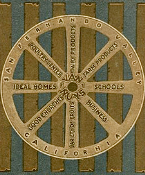
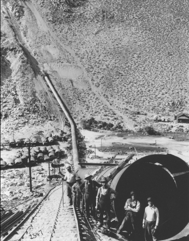
Thanks to the DWP’s amazing history website, which hosts the map. Their site is full of old LA photos, and it is the best online source grappling with The Problem of Water and Civilization, Exhibit A: Los Angeles.
