Category Archives: Public land

The Last Post

Patient Reader, I regret to report this is the last edition of the Valley Village View. I have hit the limit of the “storage space” allowed by WordPress for a non-monetized blog. That is, if I wish to continue adding to it, I’d have to pay them a monthly rent. Google’s gate-fee is not cheap; their idea is, it should be a privilege to put the View into competition with all their other products for the world’s eyeballs — and for me to hustle for ever-more readers eager to click-through their ads on my blog.

The View began as a way to share pictures with family and friends about the local and natural history of the place I call home. Very quickly I realized that I knew nothing about it, myself! And I could see that many of the most interesting things about Los Angeles, and especially the Valley, weren’t ‘covered’ online: events weren’t presented with accurate facts, landmarks weren’t honored with clear informative pictures, history and natural wonders were ignored. As my own ‘sense of place’ grew, I realized that I had to work hard to find facts, or forgotten but important names. I tried to tie each blog entry into the important themes and trends I’d discerned.

I am especially proud of the View’s multi-part explorations:


First, the Views of “Beautiful Valley Village” itself, its middle-class history, its walkable scale and unpretentiously homey Mid-Century architecture. I think the photo essay of the once innovative, now abandoned Valley Plaza may be the best visual record there is or was, of the sad fate one of America’s first modern shopping centers; another lost moment in LA conservation history. The low-slung, rock-faced, steel-and-glass rows of shops, booths, and showrooms now are falling, burning, or being allowed to be torn down, for the lack of an adaptive-reuse plan for the site.

“The Theatre of Conversion” series is the most comprehensive general account online of the religious and cultural interface that began in 1769 between the Tongva, Tataviam and Chumash peoples, with their Chinigchinich religion on the one hand, and the Franciscans, with their Christianity. In addition to discovering the amazing lore and ritual of the datura plant, momoy, t was a golden chance to do the kind of history I admire most, a “local history from the soil up” kind of story. Comparing the Indians’ myths, plants, animals, food, medicine, and land-use, with the cultural apparatus and technology which was brought in by the Spanish, opened my eyes to the magnificent chaparral of the California Floristic Province, which was almost wiped out by the invasive Spanish Pasture Mix. Learning about Fr. Lasuen’s grandiose design for the most commodious building in Alta California, the Convento at San Fernando Mission, and the huge amount of quicklime-whitewash needed to cover all that adobe, and the huge amount of oak firewood required to kiln the limestone, and the quarrying of the limestone itself, and wondering where the neophytes got all the resources called for in Vitruvius’s whitewash recipe, led me into the geology of the canyons.

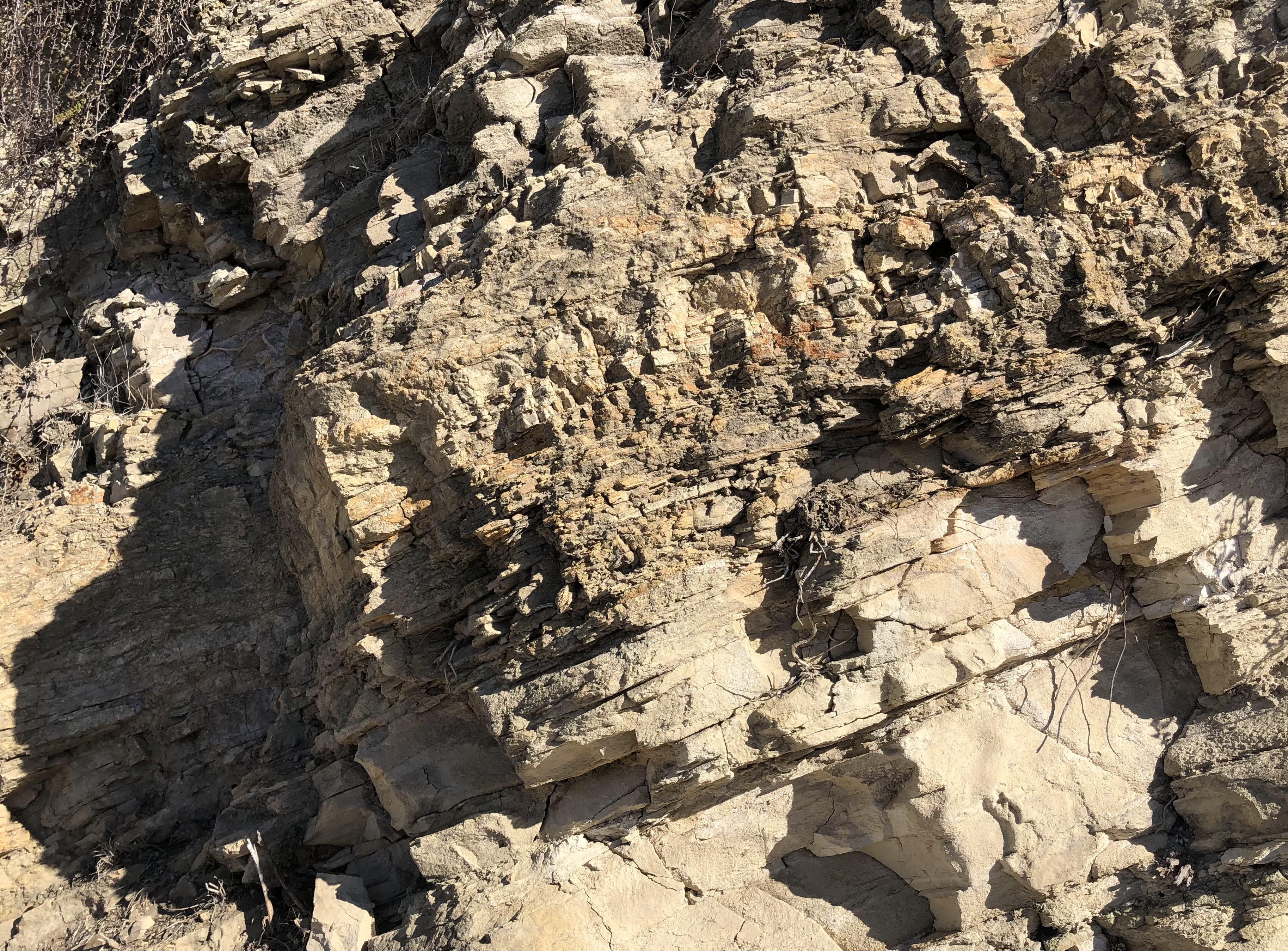
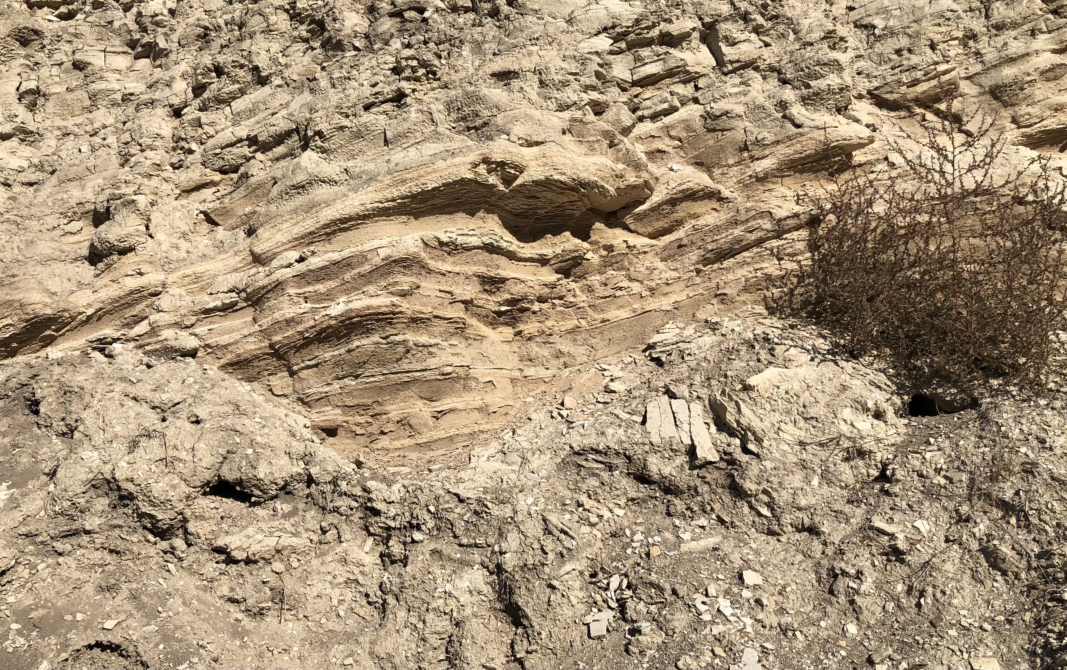
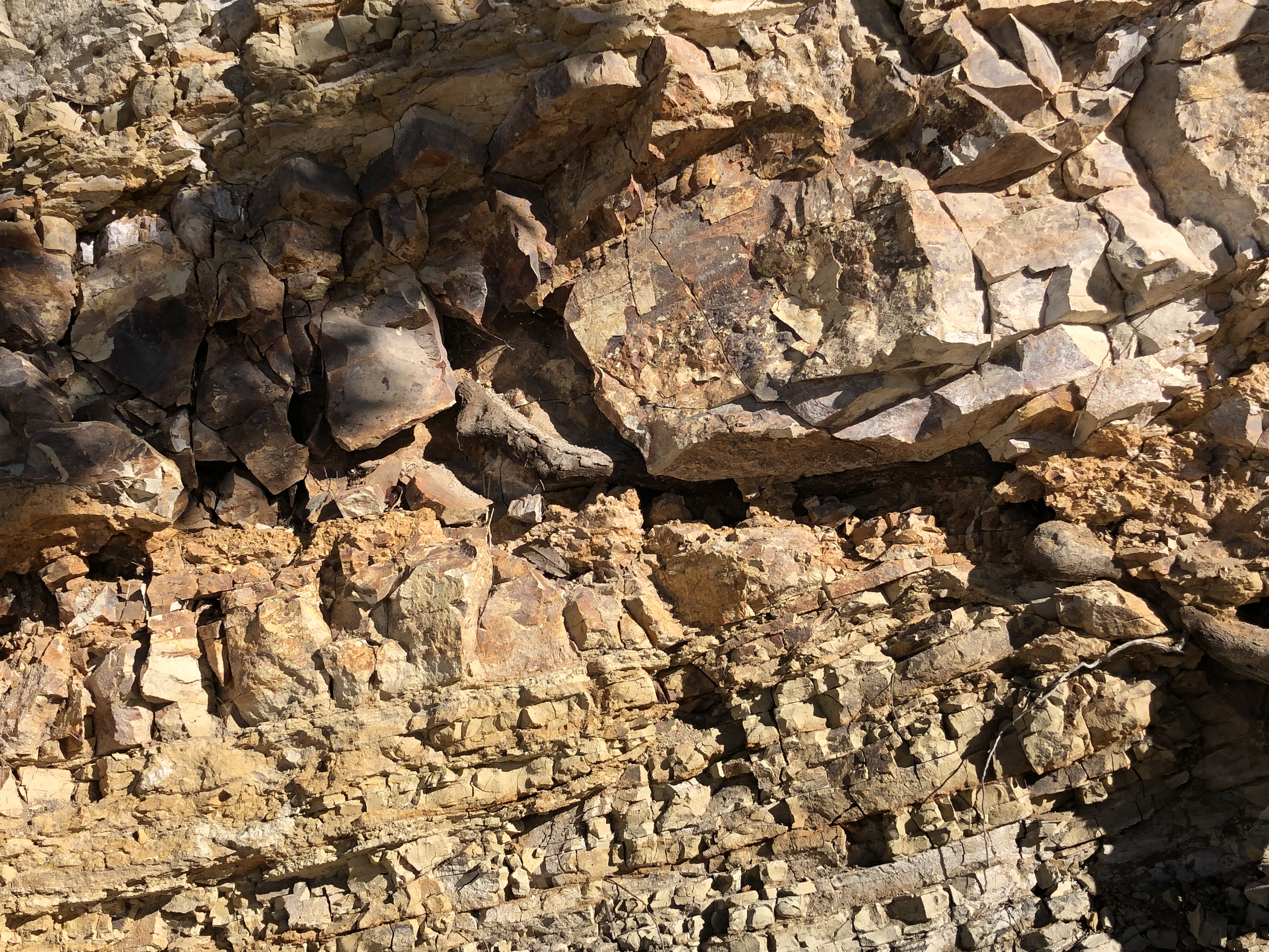
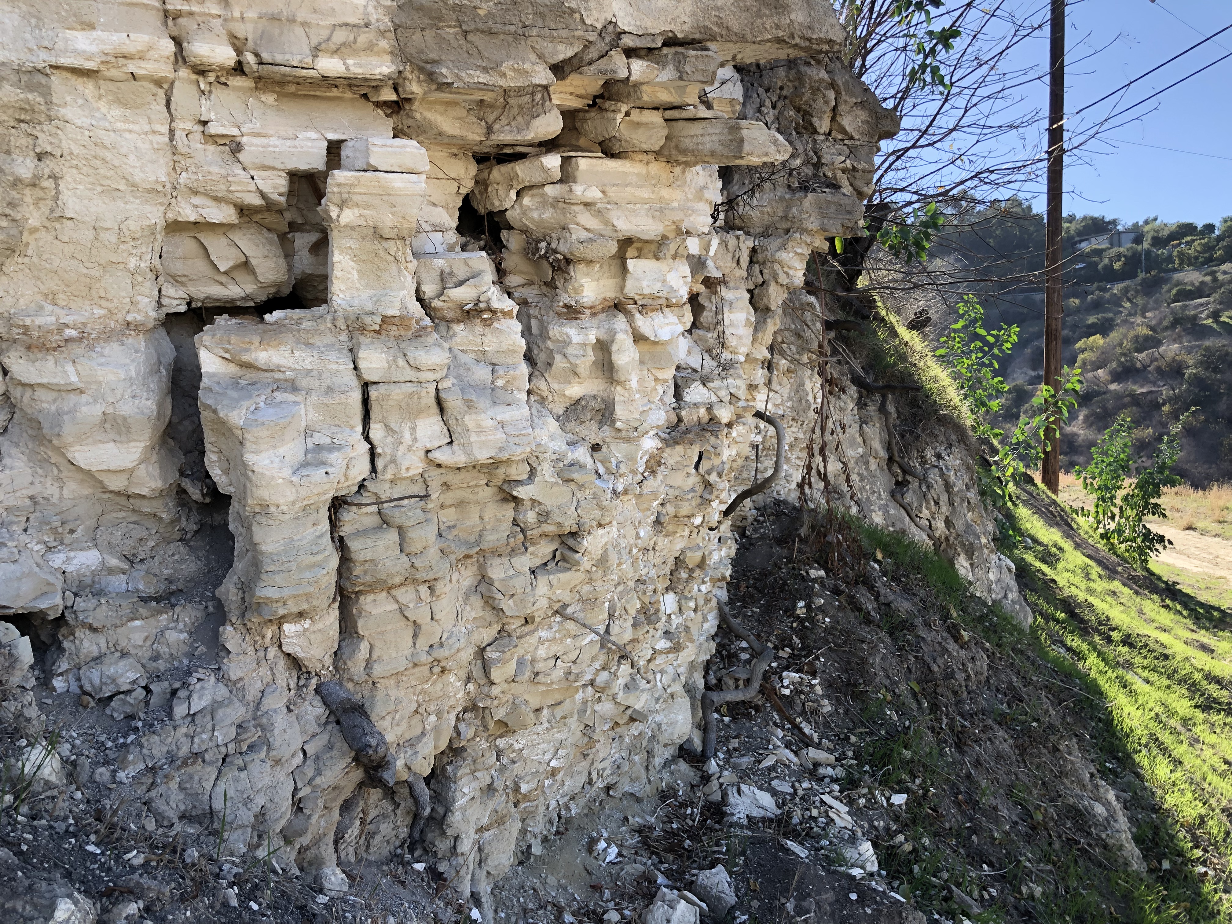
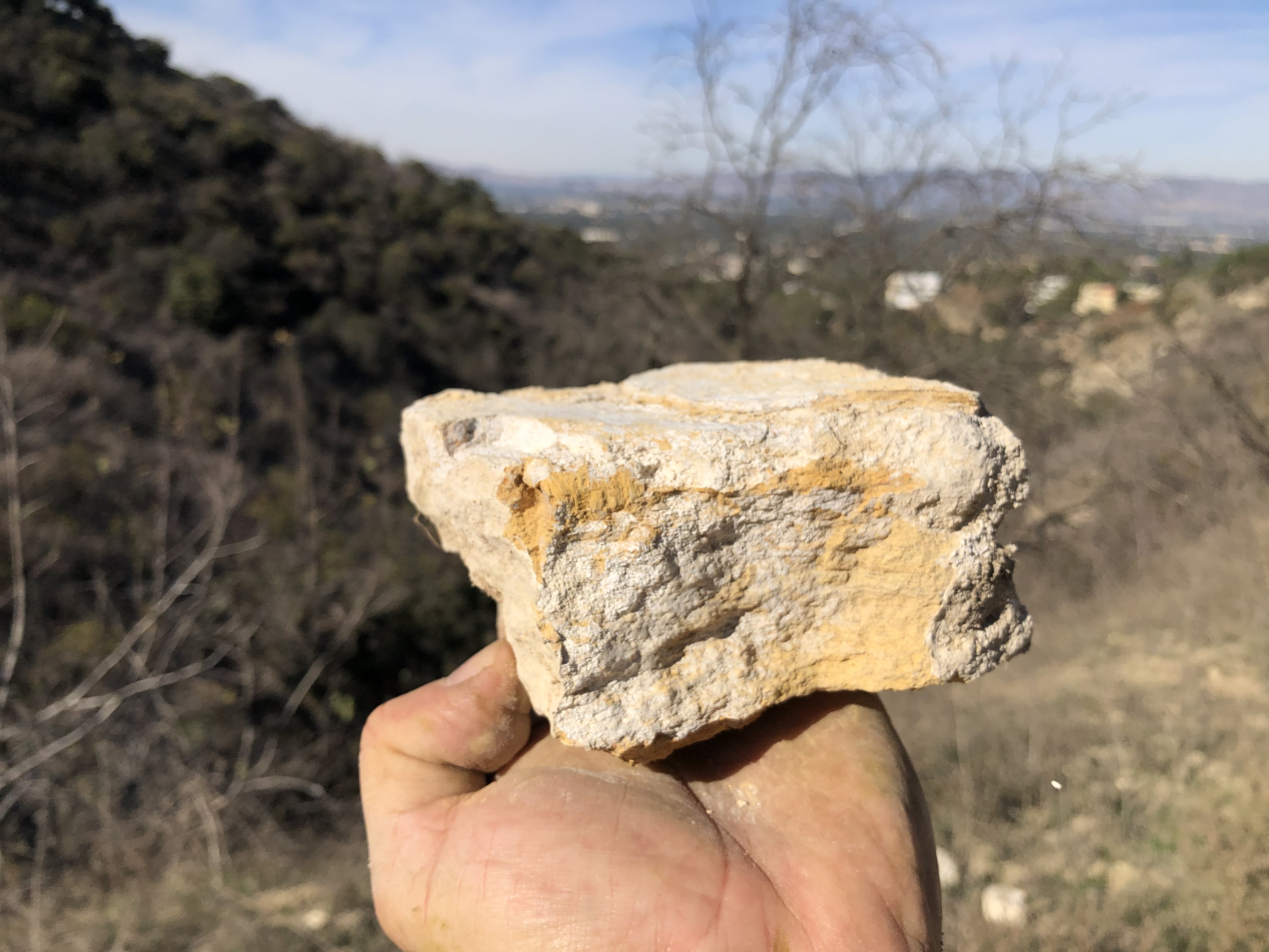
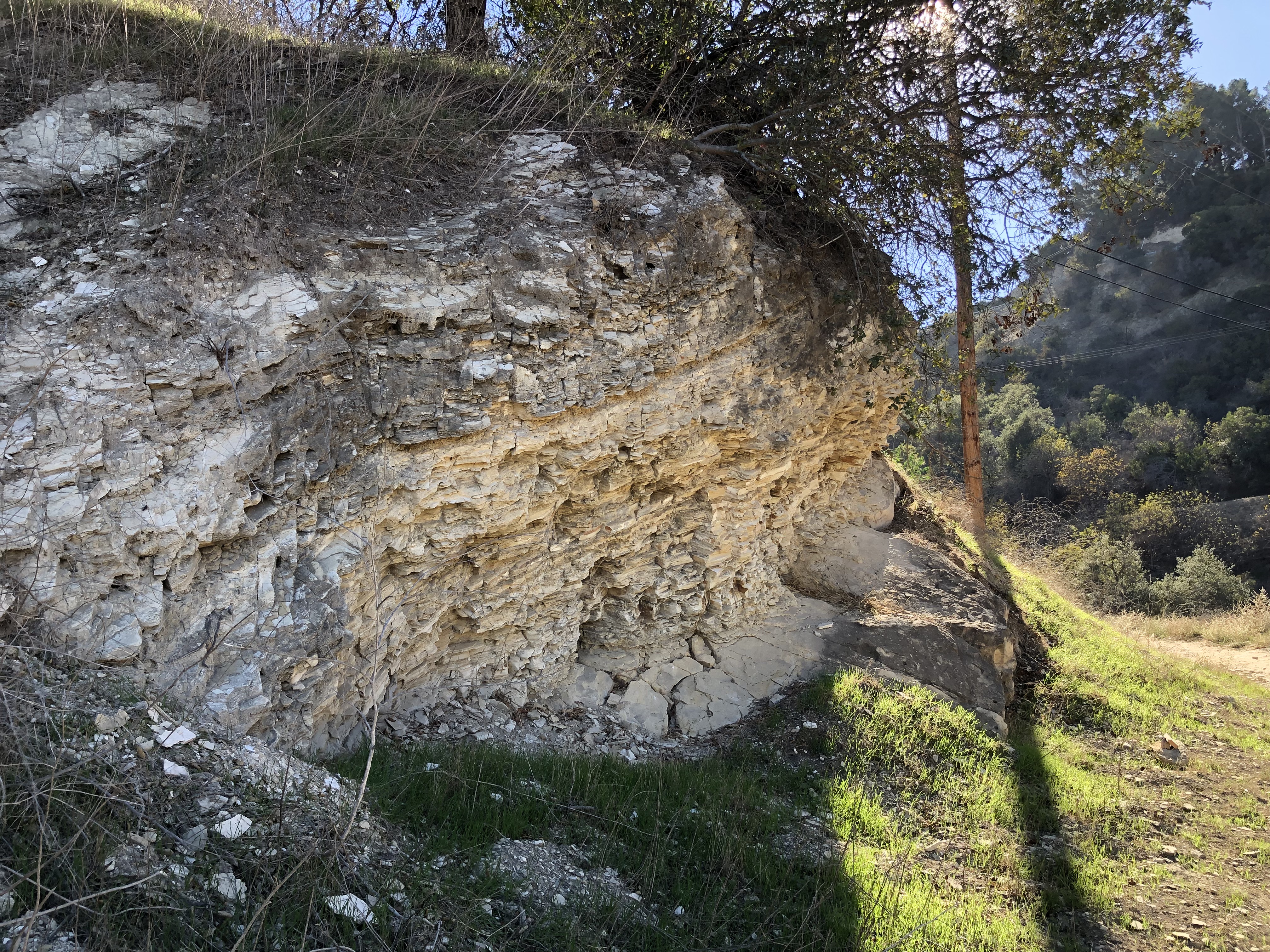
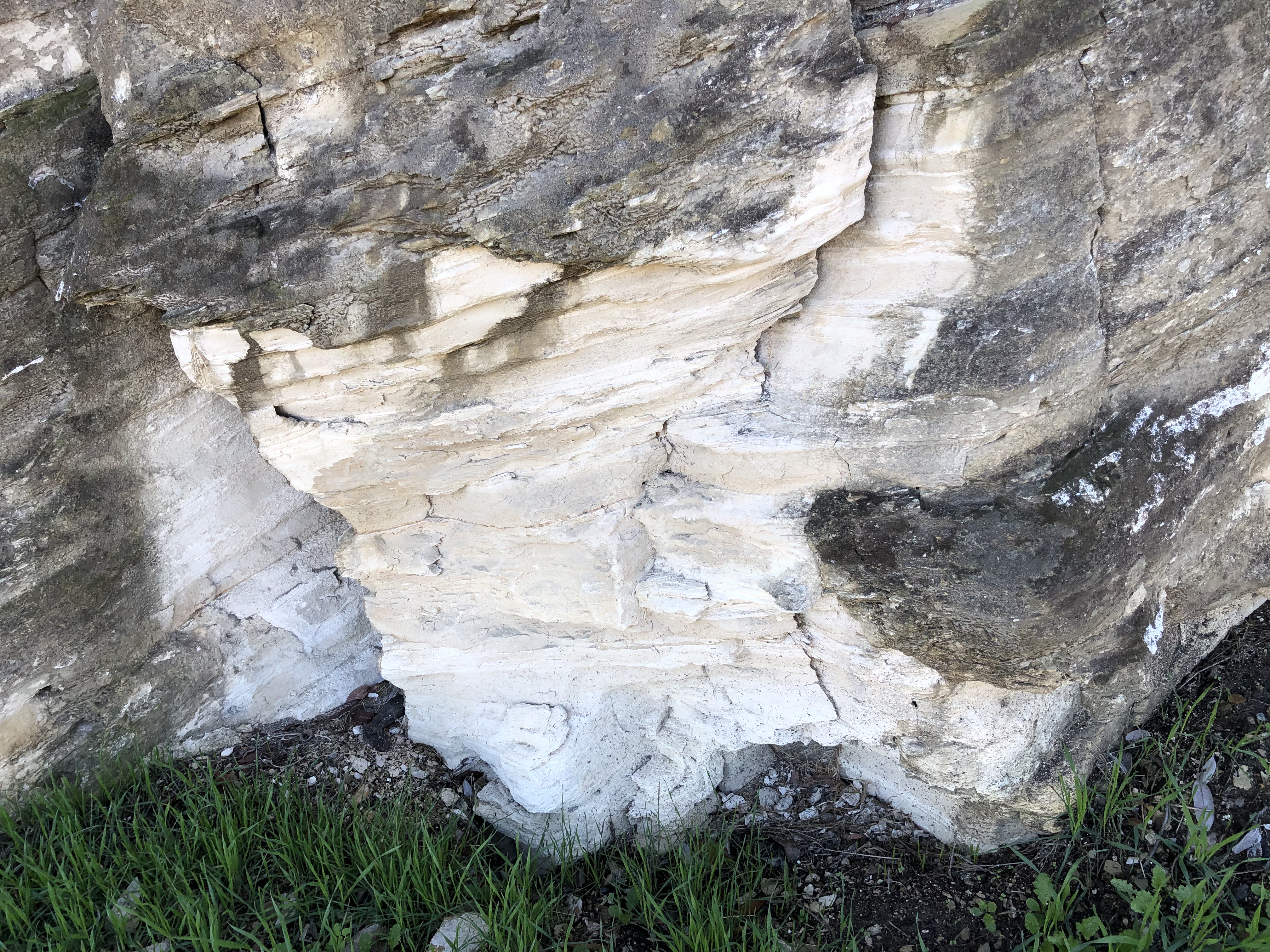
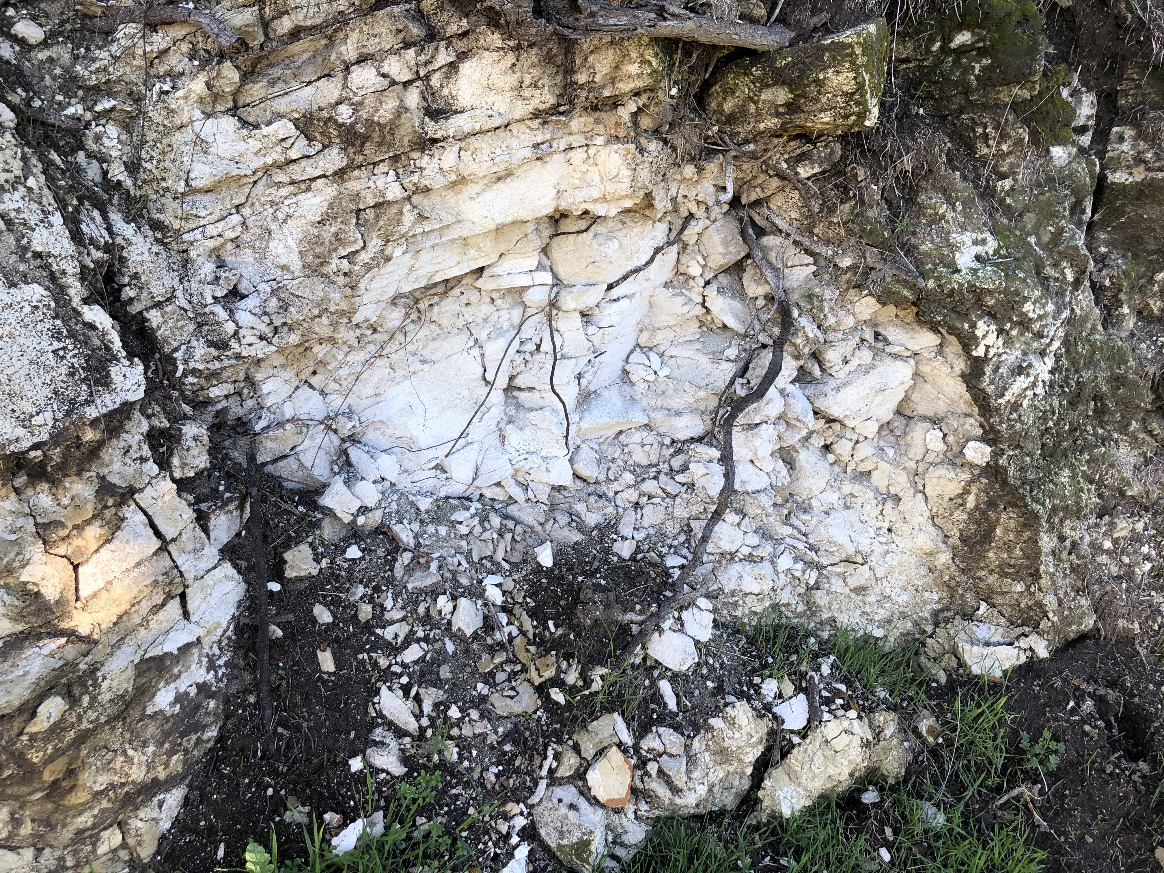
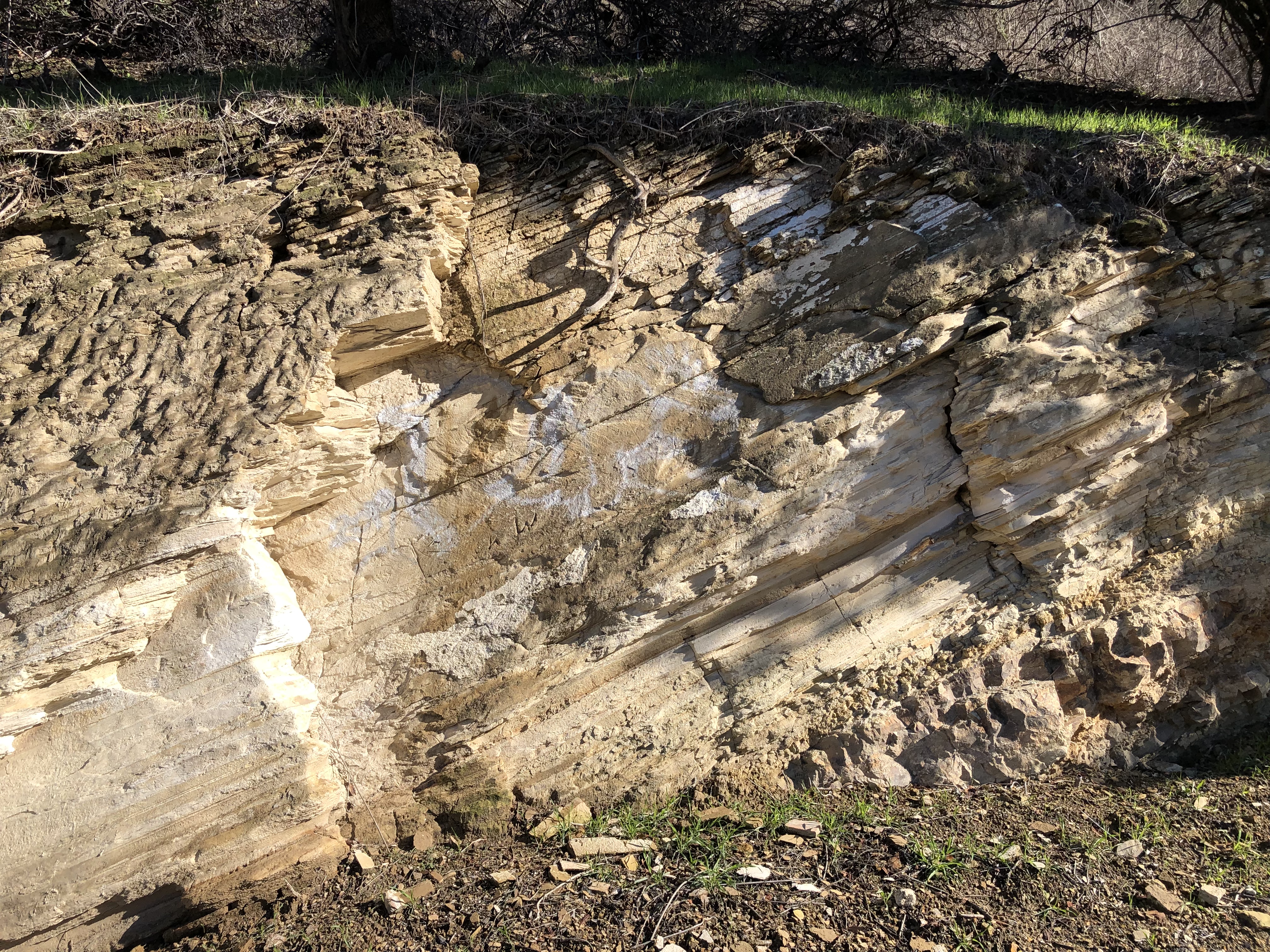
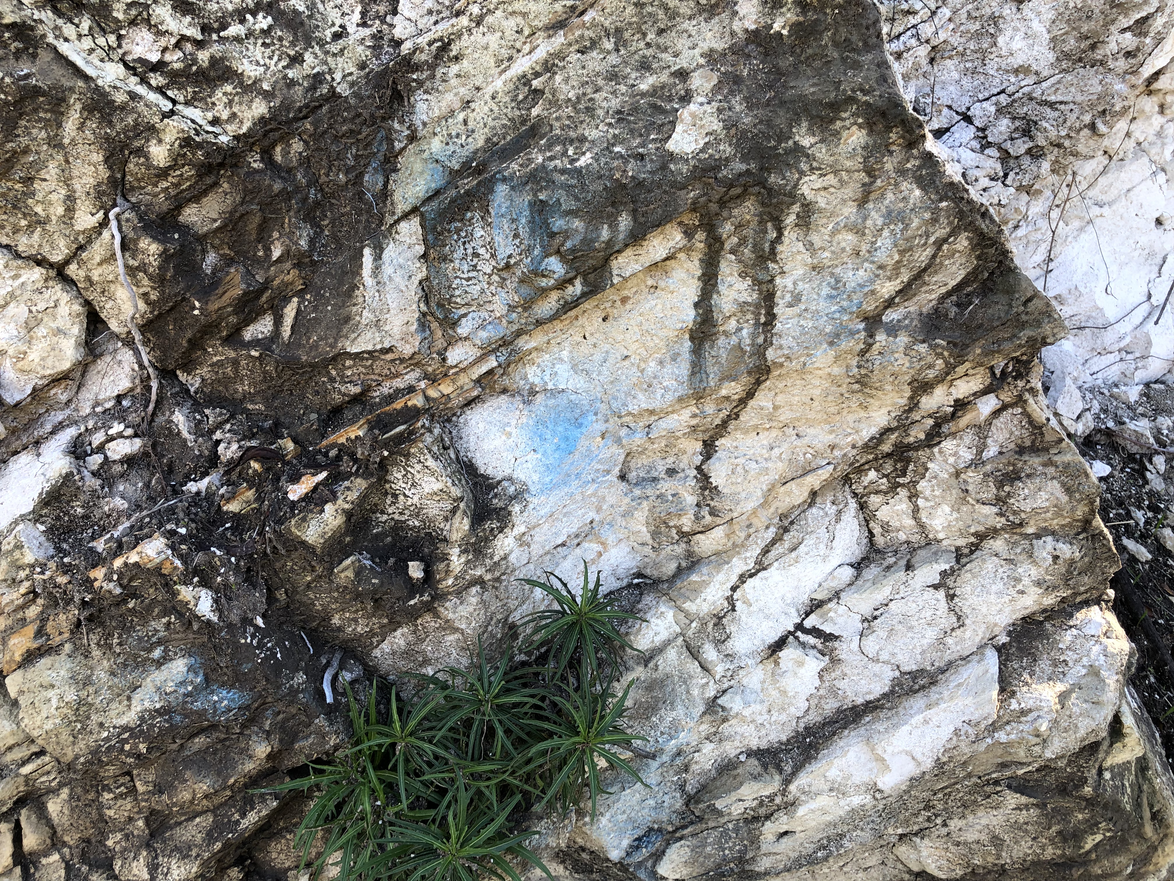
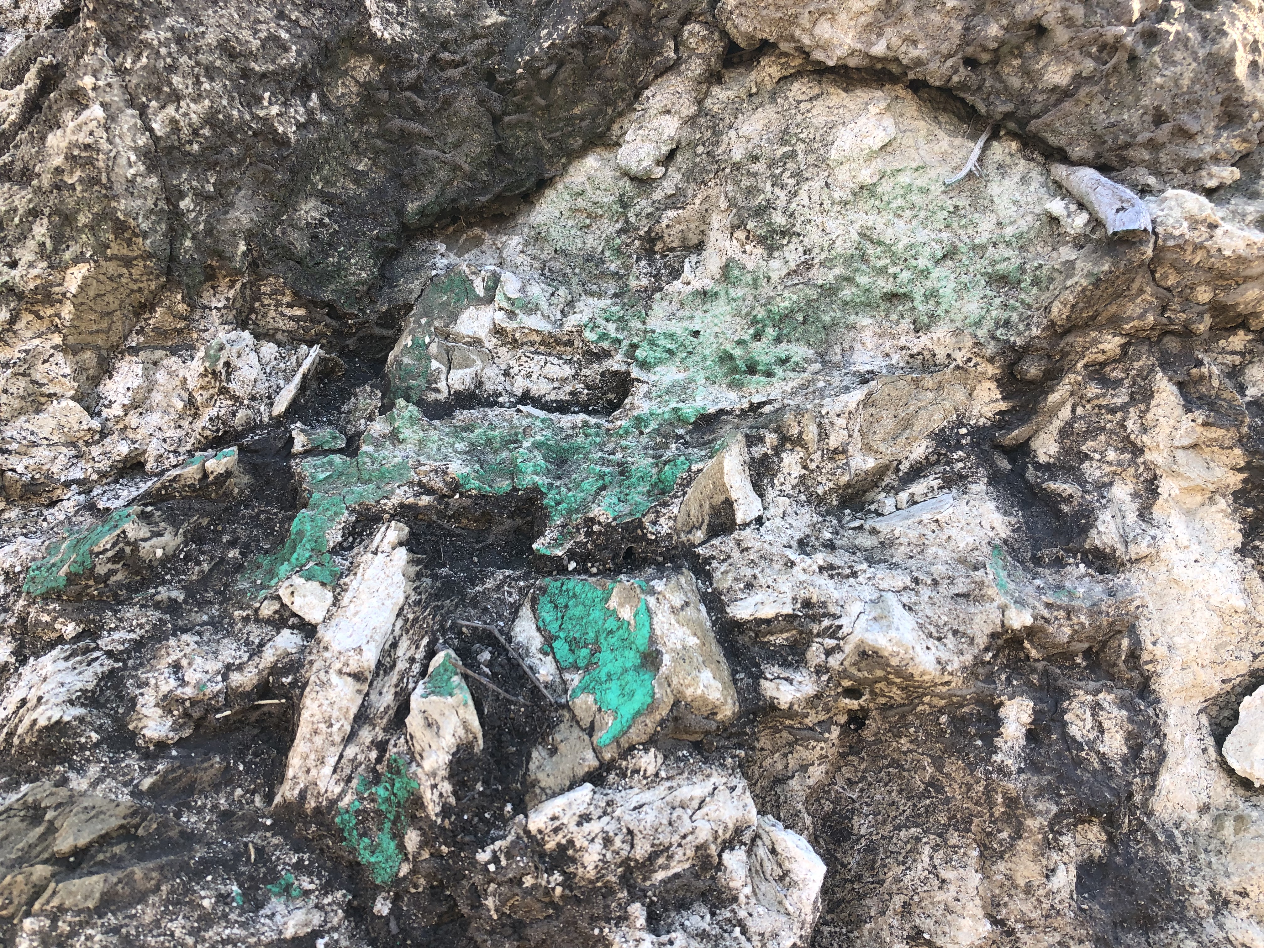
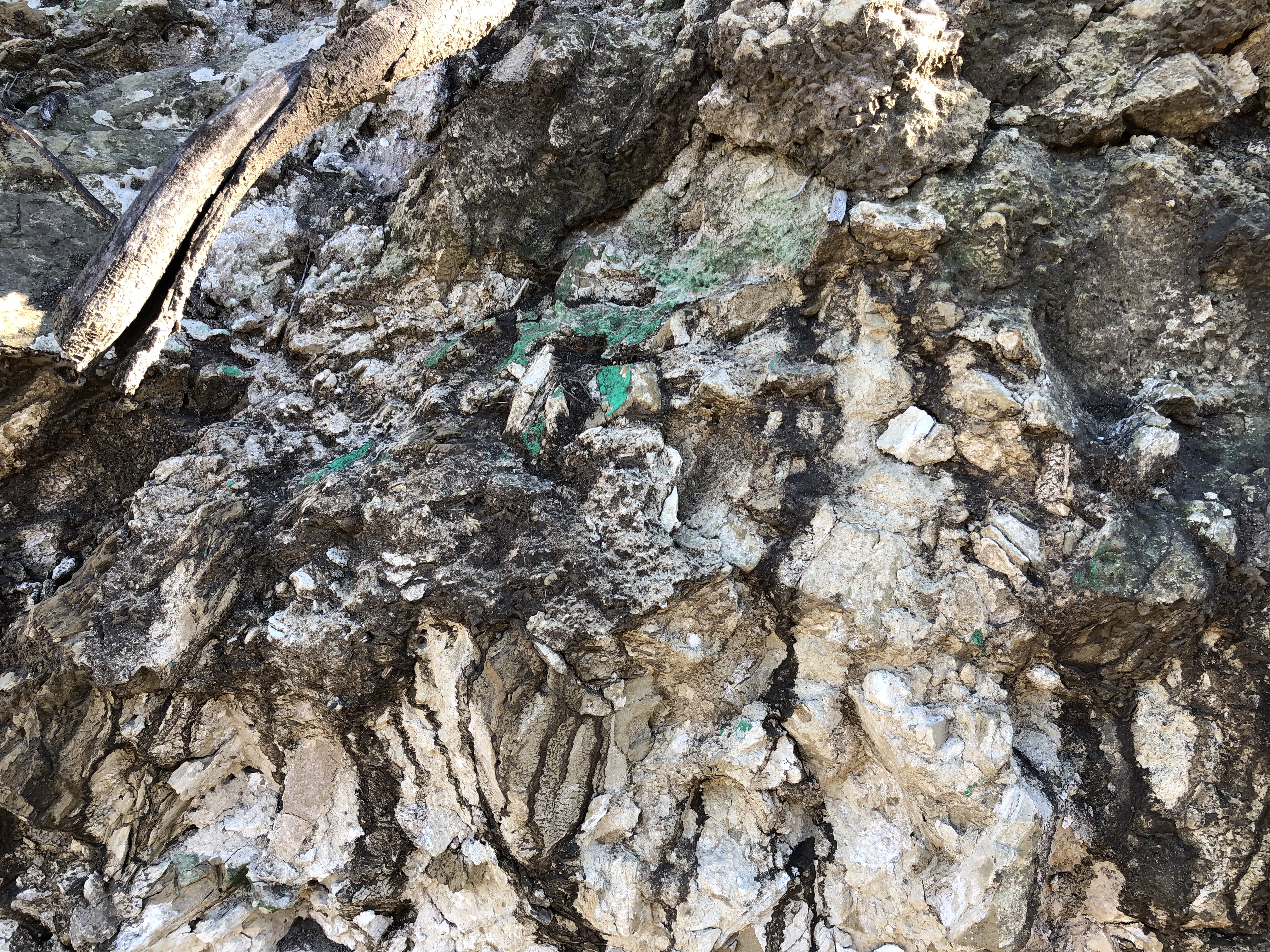
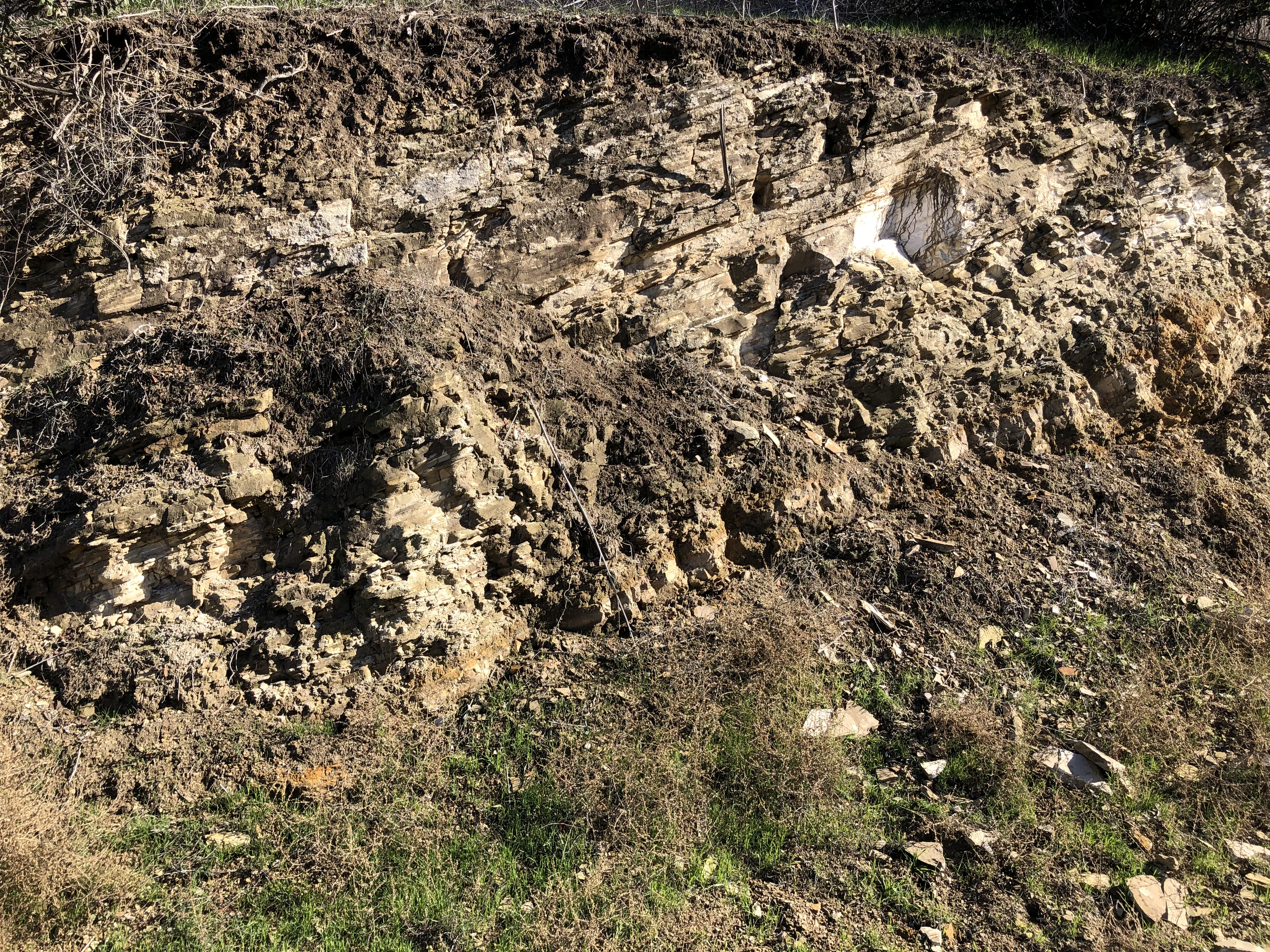
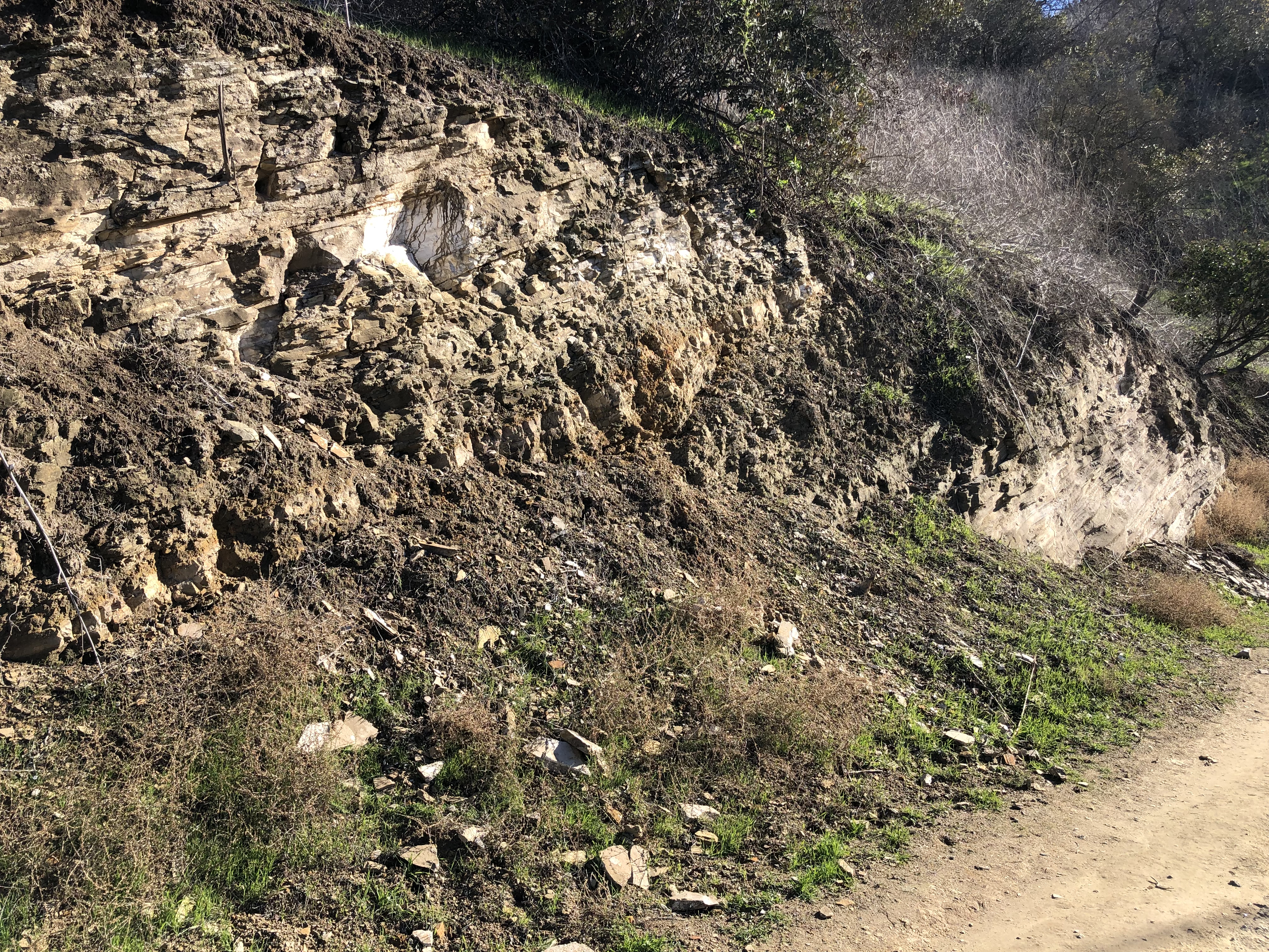
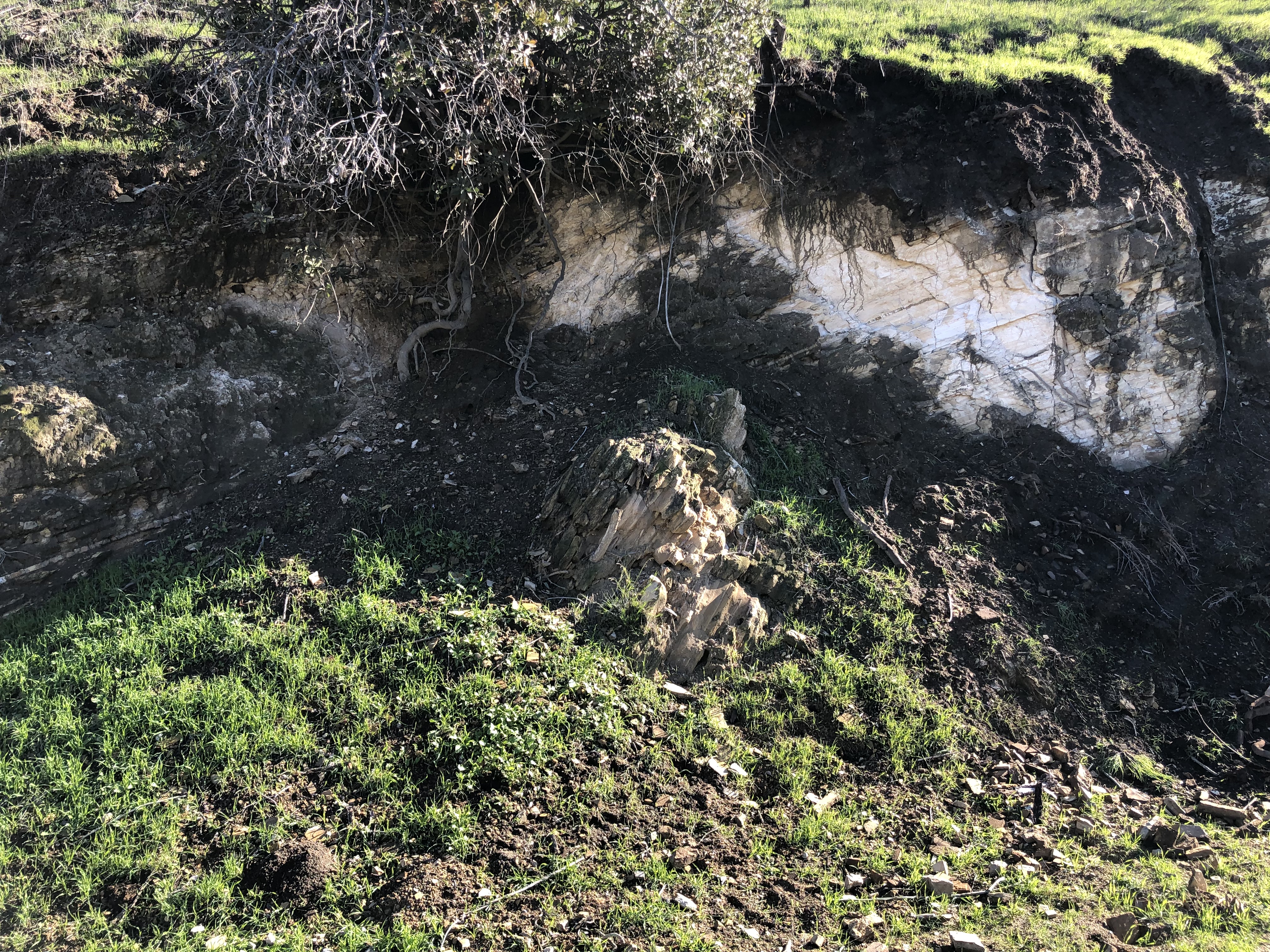
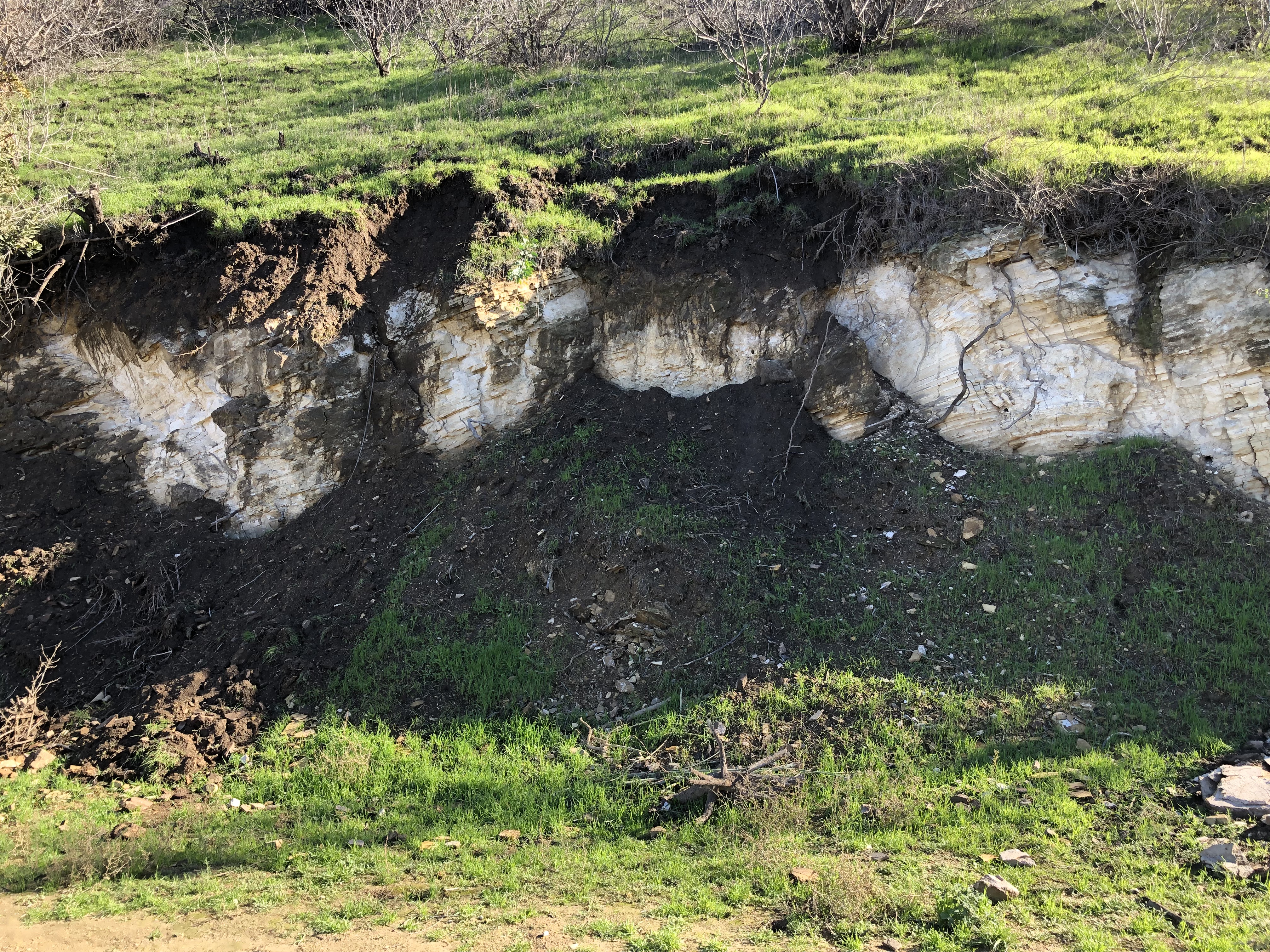
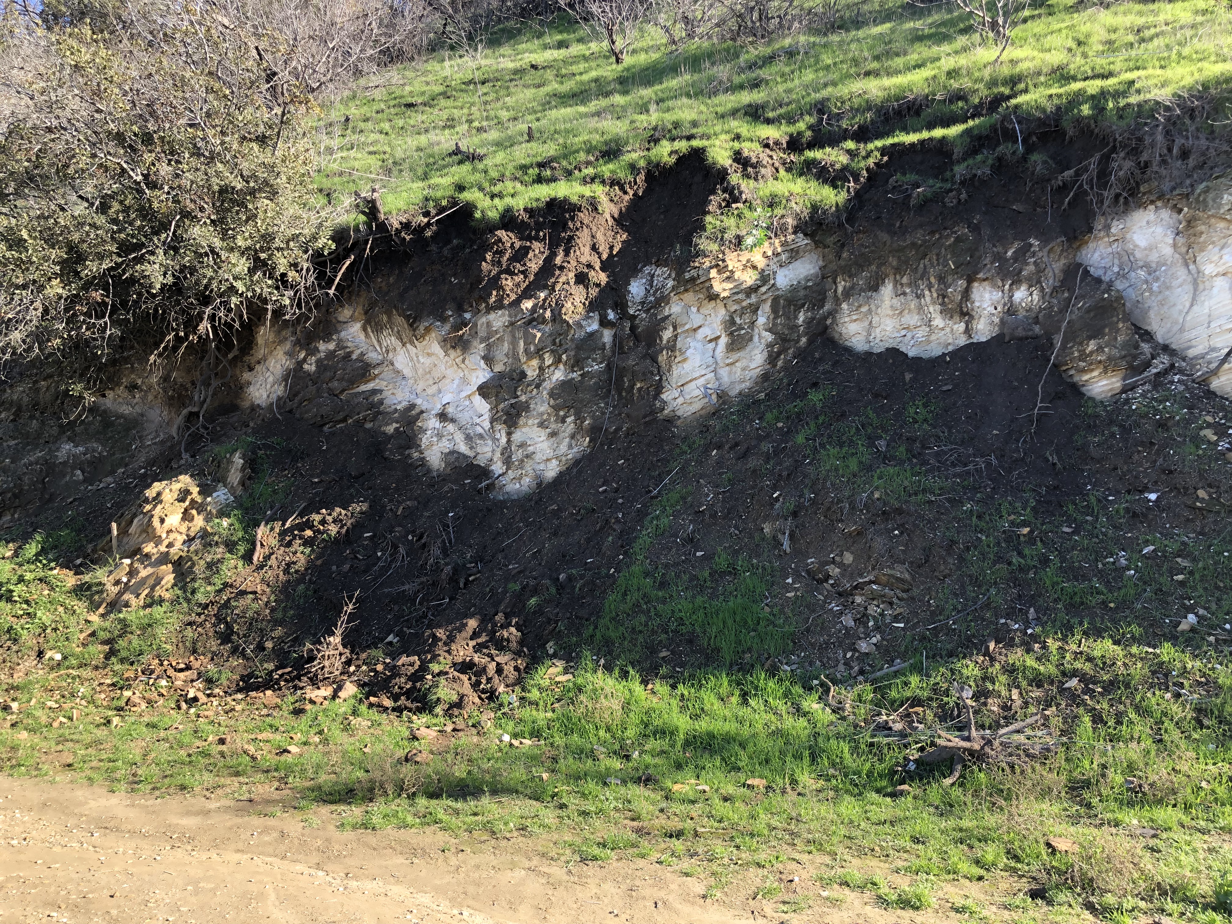
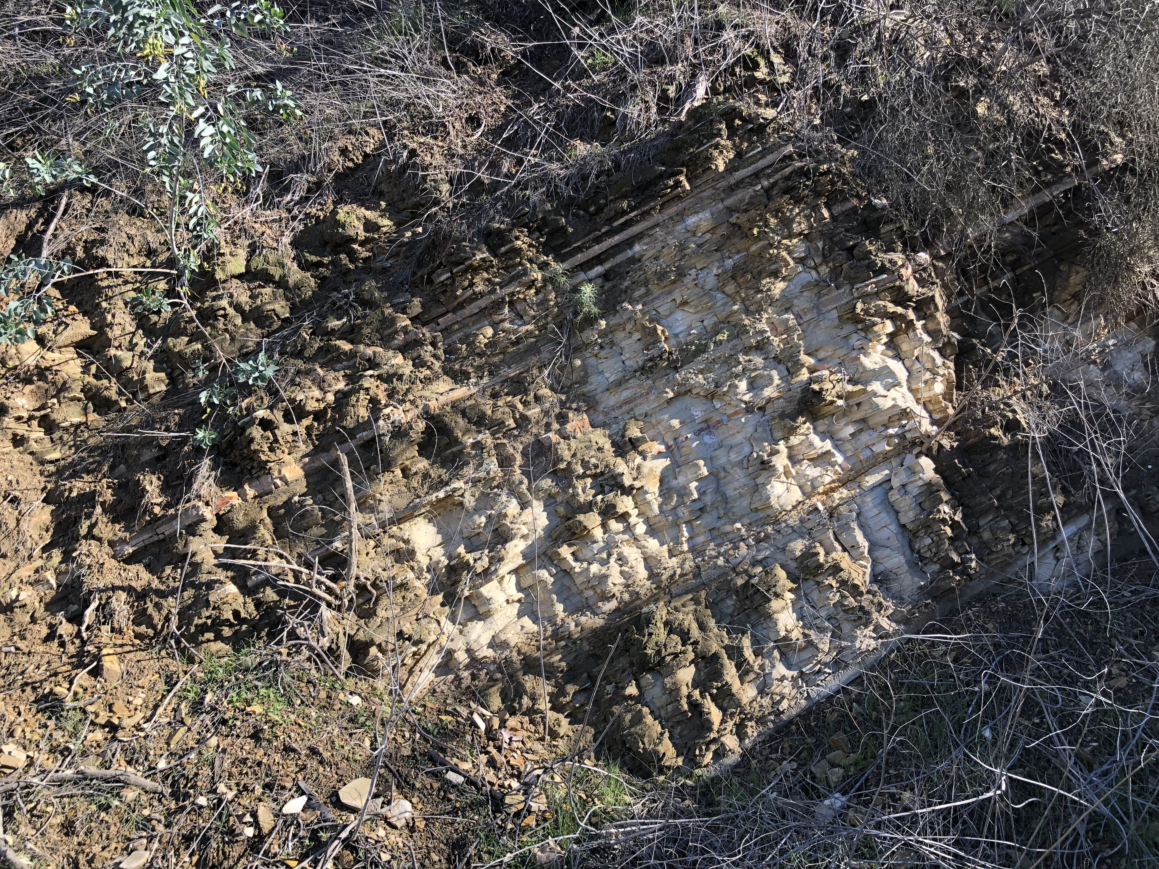
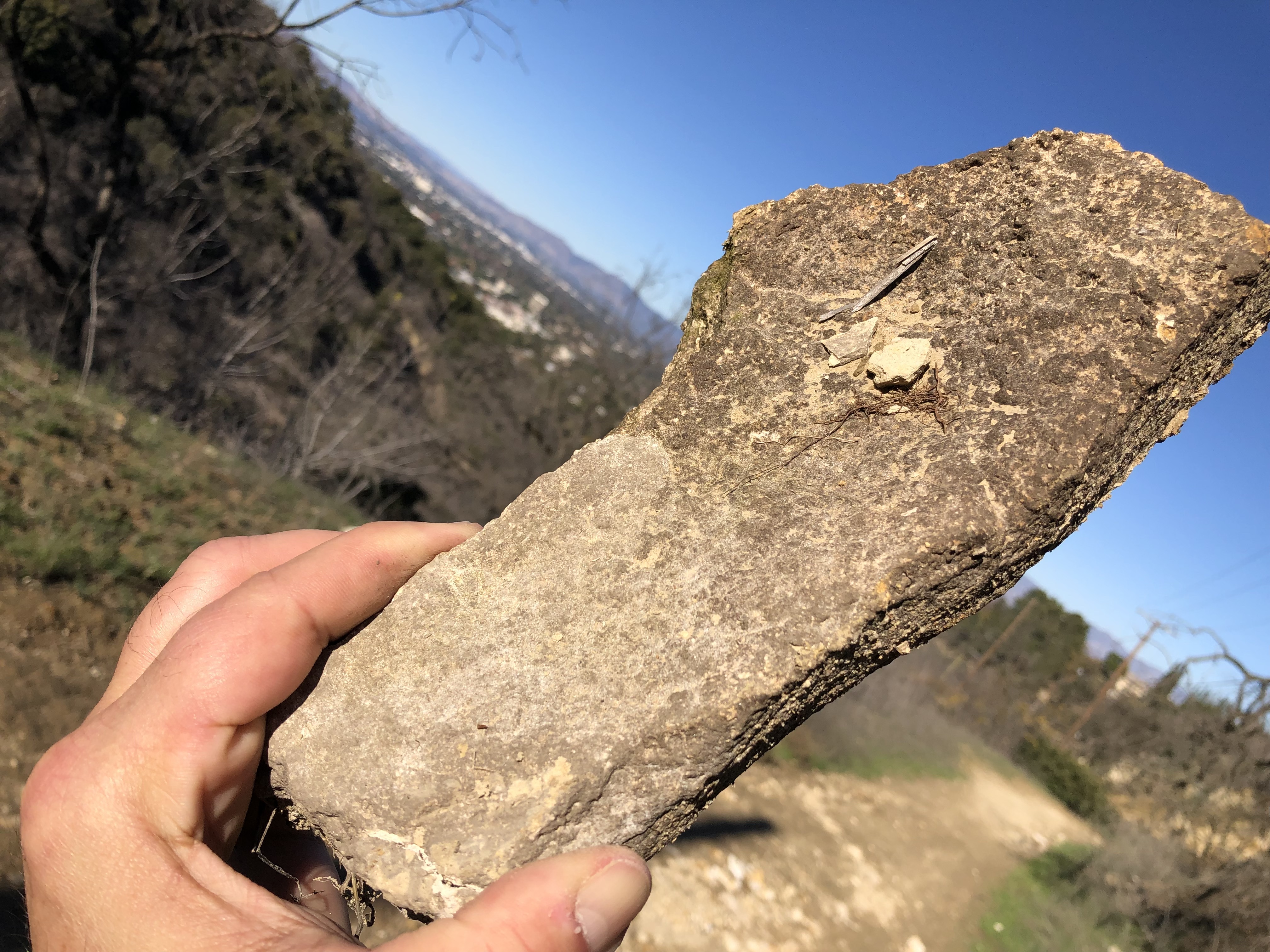
“The Transformation of Lopez Canyon” is an ongoing story that gives me hope for all of Southern California. If this abused, misunderstood sand-trap of hills can spring back from fires and floods and pollution and launch a mighty Superbloom of rare, even endangered species, as Lopez did in May-June of 2020, any place can. The CFP is robust and fit and apt and beguiling, and eager to steal your heart with water-sparing beauty and butterflies year-round, California, if you just let the dumb Connecticut-green lawn aesthetic die already. Of course, Lopez Canyon is also where I realized the Sylmar Hills were remnants of ancient mud volcanoes. This amazing revelation prompted the View to propose “San Fernando Valley National Geologic Monument,” (which is still an awesome idea) and led to a good survey of the rocks and rills round the rim.

I’m really sad to have to leave off “Van Nuys – A Viewing” in the middle. The story tells of how Isaac N. Van Nuys, one of the greatest wheat farmers and agricultural developers in California history, was descended from Dutch wheat farmers who settled in New Netherland in 1651. The story winds around to Brooklyn and New Jersey and to the Genesee Valley of upstate New York — each place, in its day, the center of a wheat-farming bonanza belt. The Van Nuys family story was revealed as a central thread in a much bigger story, that of the Anglo-Dutch commodity wheat culture of the former New Netherland counties. This family-based, small-freeholder, mercantile farming model was the economic and cultural template of settlement of the middle colonies, and it emerged from the English conquest of New Netherland. Wheat agriculture was carefully implanted along with religious freedom, when neither wheat nor free thought was flourishing elsewhere. Eventually, it was the norm that prevailed across the American frontier and drew in millions of immigrant homesteaders eager to copy it. But just as the riled heartland of sober, small-farming, reformed-religious Prairie Populists seemed ready to rise to national power under Wm. Jennings Bryan, the price of wheat collapsed, and the whole family-farm commodity wheat culture retreated. The rush of farm-leavers from rural counties fed the teeming cities. Part of the reason wheat went bust in Kansas and Missouri and Oklahoma, was that one Isaac Van Nuys had athsma, and got the jump on the prairie homesteaders by moving clear out to California. By the 1880s Van Nuys was shipping huge cargoes of Pacific wheat to the grain market at Liverpool, and that encouraged other Californians to go big in wheat. Thus, one of the descendants of the original Van Nuys. who helped found family-farm wheat culture, was so successful he helped strangle it as a settlement pattern. When Ike Van Nuys sold off his massive Valley holdings to developers in 1911, the hay-day of America’s Anglo-Dutch freethinking commodity wheat agriculture was over; exemplified when hundreds of thousands of displaced and dispossessed Okie farmers arrived in the Valley for one last chance at land, and found LA instead. I regret I didn’t get to finish this story of family farms, religious freedom and progressive ideals; but it helped build America, and the future is full of time.

Thank you for following the Valley Village View. If anyone stumbles in here after this, I hope they will find working links and hashtags. I hope the site will still be useful and beautiful for you. I hope it encourages understanding of the phenomenally rich culture of Los Angeles. I hope the photography, especially of the native landscapes, inspires visions of the vast renewal that is waiting for us, could we only learn to give this remarkable land our attention, love and respect.

Dixie Canyon, Santa Monica Slate – Sherman Oaks

Recall the uplift of the Santa Monica Mountains; the migration northwards and 90-degree rotation of the West Transverse Range Block, and the Embayment and deposition and inversion and final drainage of the Valley. All that, made all this. The white (reduced?) slate layers are light and soft and crumbly as old foam rubber. Spritzes of green and blue on the surfaces suggest hydro-chemical alteration of the rocks by water in the copper series, as I’ve noted in many spots in the Santa Monicas. I wish there was more information online about the visible geology of our hills for curious hikers, but there just isn’t.

The Sunkist Building, Sherman Oaks

Fans of LA architecture, as of LA geology, must kneel to a brutal truth: here today, gone tomorrow. Please appreciate the former Sunkist Growers’ Headquarters Building (1969; A.C. Martin and Assoc., arch.), while ye may. She will never again be a prominent landmark, since the parking lots that surround the building are being developed into a massive new mall.

Mid-November; an underground parking lot is being made out of the old loading dock. (A good idea. A much better idea would have been to ban cars from the campus entirely and use that portal for transit to give the development a “Sunkist Station”stop. Na ga happen.

Strange But False: Despite the anecdotes, the Sunkist Building wasn’t meant to look like an orange crate, or a wine crate, or even a milk crate. It seems the design was purely an economical way to house and park xxx workers in x,xxx square feet. It’s also not true that Sunkist wanted to be near the Valley orange groves, or to honor the rich fruit-packing history of Van Nuys. The groves and packers by 1969 were already mostly gone, and the site was selected because it was cheap empty suburban land near a new freeway. Finally false, and for the same reasons, is the idea that when Sunkist abandoned this site for their new HQ in Valencia, they were following the orange growers, or honoring the namesake LA citrus variety that made their fortune. Nobody in the organization apparently gave a thought to Valenicia, the city, as related to its product. (Sunkist is a corporation, even if it was founded by farmers.)

Below: Dec. 2019. This was after Sunkist had moved out, but the building was still intact with the original plantings.

Brutalism, that ghastly concrete corporate 1960’s-1980’s mistake, was mellowed here by an elegant and austere classicism. That drawn-in waist; she courts the eye with that Grecian bend. In the 1970s, when Sunkist Building was a landmark visible from the freeway, it subtly “matched” the craggy white slate hills of Sherman Oaks. (Thought I doubt that fitting in with local geology was intentional.)

At any rate, it seems they intend to keep the building and its courtyard as the center for the mall. A noble choice for this lovely site.

View Vasquez Rocks

Where All Good Location Scouts Go When They Die

The Old West as Outer Space. The rocks’ visuals are of jutting planes apparently defying the normal geometries of gravity: like a Bierstadt landscape, hung crooked on the wall.

Unsettled, is built into the suspenseful psychology of the scenery.

Surely, any characters beamed into this disjointed landscape must be in tension themselves; on the brink; at a tipping point.

Today it is a Los Angeles County Park; 1,000 acres spread across 20 million years. The lay of the land is a north-facing slope with a series of hog-back ridges poking up through the slope. North-facing slope means shade, which prospers old-growth mosses and lichens, in dazzling variety.

The sedimentary layers are similar to those in the Valley. The alluvia laid down as sea, estuary, or bay floor make a beautiful sequence of inter-fingered sandstones, siltstones and mudstones. Then, the layers were crunched up into folds and anticlines by compression (between the Pacific and the NA Plates). Then the land got pulled back – extension – and a rift formed. Wet sands were intruded from below by volcanic metamorphic magma. Uplift out of the sea followed, and the hogbacks of harder rock emerged out of differential erosion of the softer rock.

The regional tectonic story is the breakout of the San Andreas Fault. This occurred when the compressive force of the Pacific Plate, partially sliding under the old Rodinian Riviera at what is now San Gabriel Fault, jammed. The old seaward faults (those in LA, e.g.) had been sutured into a mass riding atop the Pacific Plate. The tectonic border moved inland, which became our current plate boundary, the San Andreas Fault, with its dextral strike-slip. (The ’Great Bend’ in the San Andreas is just a few miles northeast of Vasquez Rocks.) Sadly, though unsurprising to me at this point, the visitors center contained no information whatsoever about the geology of the area. Anyone coming to the site of Vasquez Rocks to learn about Vasquez Rocks, will be disappointed.

Above: scrub oak, Quercus dumosa.

It is one of the most fragrant parks in So Cal, thanks to the junipers. Fun Fact: that’s mistletoe dangling from the branches. Who knew it favored juniper?

I liberated some berries to crush into my martinis for a little aromatherapy.

There is a commendable but basic exhibit on the Tataviam, the northern part of whose territory included this gorgeous place. But it is a general cultural overview, with nothing about how or when or why they used this particular site. There are what looked like Chinigchinich-religion-inspired wall paintings on a rock near the entrance, including the Centipede character. I don’t know whether the figures are genuine or graffiti, or what artifacts archaeologists might have found so far.

Why is it called “Vasquez Rocks?”

”Vasquez Rocks” got the name in the 1860s-70s, when the ”gentleman bandit” Tiburcio Vasquez camped here as a hideout. The bandido’s suave Monterey manners, fluency in English, and fine connections among good Californio families give his legend an undeserved air of grace. Certainly he was handsome and of fine carriage; hearing he might be near would cause local girls’ hearts to swoon. Envious or disaffected young men among the lower classes took him for a revolutionary emblem, a folk hero fighting against the Yankee oppressors. This was the defense Vasquez used at his trial: he claimed he did it all as a freedom fighter for California. But there’s not a thing in it; Vasquez’s decades-long string of petty robberies and random hold-ups, interrupted twice by stints in San Quentin, add up to nothing but pointless and not very profitable thuggery. Honestly, he seemed to be in it for the girls — which is how he was caught. He was canoodling with local girls while holed up in Greek George’s adobe, on what is today’s Sunset Strip in West Hollywood.

The posse kept surveillance on Vasquez while he was at Greek George’s (somewhere around the Sunset Tower?), from view-points in Nichols Canyon. Vasquez was held in LA for a week, while adoring senoritas crowded the jail, sang to him, and pleaded for his release. He wrote favored girls little love-verses. He was moved upstate and tried in San Jose, and executed in 1874.